What is recorded here
Situated at a break in a marked SE-facing slope. About two-thirds of a circular ringfort (diam. 20.5m) truncated at the NW by a field boundary. Defined by an earthen bank (Wth 3m; H 0.4m) from NNE-ENE and from S-SW. At the E the perimeter is defined by an irregular bank of small boulders set along the edge of a steep natural scarp. A narrow berm (Wth 1.5m) occurs outside the bank at the SW merging with a narrow external fosse (Wth 1m; D 0.3m) which runs for c. 11m along the S perimeter of the site. No indication of entrance or internal features, and site not visible to the NW of the field boundary.
The above description is derived from the published 'Archaeological Inventory of County Wicklow' (Dublin: Stationery Office, 1997). In certain instances the entries have been revised and updated in the light of recent research.
Date of upload/revision: 17 December 2008
The monument record does not grant public access. Check the route and ask the landowner before entering private land.
- What survives
- Recorded monument
Places near here
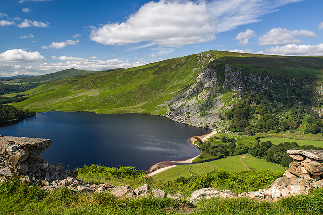 Mulladarragh RathFairy fort / earthen ringfort · 675 yd
 Enclosure in Donard LowerEnclosure · 963 yd
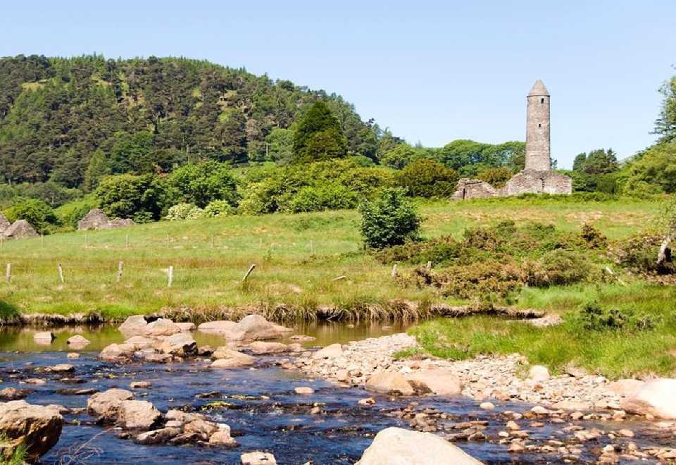 Ball MoatCastle, motte · 1595 yd
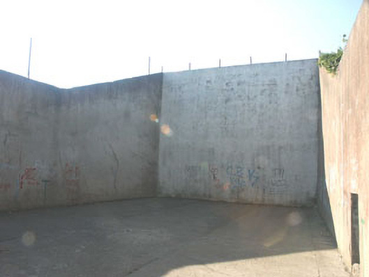 handball alleyhandball alley · 1616 yd
 Church (in Ruins), Grave Yd.Church · 1670 yd
 Pedunculate OakPedunculate Oak · 1.1 mi
 English hollyEnglish holly · 1.4 mi
 PinnacleMountain / peak · 1.8 mi
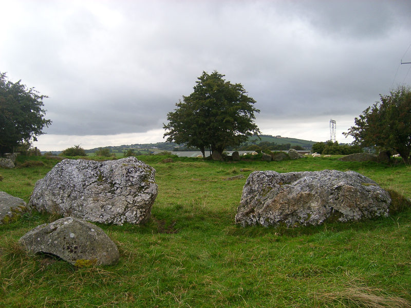 CastleCastle, motte · 1.9 mi
 SugarloafMountain / peak · 1.9 mi
 Michael Dwyer MemorialMemorial · 2.8 mi
 Artillery MemorialMemorial · 2.8 mi