What is recorded here
Fairy forts are often lost when practical men flatten them for pasture, and Ballyvologe followed that ordinary fate. Its thirty-five-metre ring gave up most of itself in the late 1970s, leaving only a faint eastern arc beneath the grass. The saddle between higher lands may have once held a whole life inside that circle, but the field wanted width, so the memory was dragged down and sown over.
In rough pasture, on NNE-facing slope in saddle between higher ground to E and W. Monument, depicted as roughly circular embanked enclosure (diam. c. 35m) on 1924 OS 6-inch map, has been levelled. Only trace of site apart is arc of low rise (max. H 0.1m) E->SSE which may be remains of levelled bank. According to local information enclosure levelled in late 1970s when surrounding field boundaries removed to create large pasture field.
Compiled by: Denis Power
Date of upload: 26 August 2011
The monument record does not grant public access. Check the route and ask the landowner before entering private land.
- What survives
- Recorded monument
Places near here
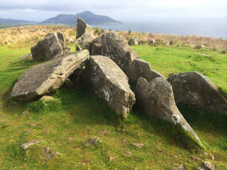 Giants Grave (1924).Wedge tomb · 880 yd
 KnockfeerinaMountain / peak · 940 yd
 CairnCairn, unclassified · 957 yd
 Abbey (in ruins)Church · 1402 yd
 Abbey (in ruins) (1924).Religious house, unclassified · 1671 yd
 Famine stoneMemorial · 1.1 mi
 Kilmacow Ho.Bawn · 1.2 mi
 CastleCastle, unclassified · 2.1 mi
 Kinnoor WellSpring · 2.4 mi
 Flat cemetery in Kiltenan SouthFlat cemetery · 3.8 mi
 Dysert AenghusaHeritage attraction · 3.9 mi
 Our Lady's WellSpring · 4.0 mi