What is recorded here
Fairy forts are a common name for ringforts. The local label may reflect folklore more than fact. The site in Ballyvoddy is an earthen ringfort, not a proven fairy dwelling.
In tillage. Circular area (44m E-W; 42m N-S) defined by low scarp SSW->ESE; scarp less clearly defined elsewhere. Circular enclosure visible as cropmark of bank and external fosse in aerial photograph (CUCAP, AYP 88).
The above description is derived from the published 'Archaeological Inventory of County Cork. Volume 4: North Cork' (Dublin: Stationery Office, 2000). In certain instances the entries have been revised and updated in the light of recent research.
Date of upload/revision: 14 January 2009
The monument record does not grant public access. Check the route and ask the landowner before entering private land.
- What survives
- Recorded monument
Places near here
 Man-made underground passageMan-made underground passage · 690 yd
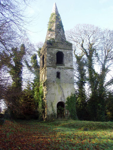 Saint Nathlash Church of Ireland Churchchurch/chapel · 1367 yd
 Church in BallyvoddyChurch · 1371 yd
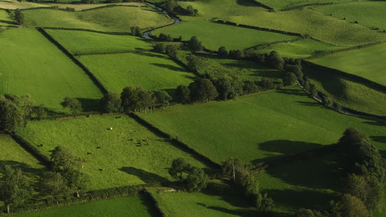 Field system in Carrigleagh (fermoy By., Wallstown Par.)Field system · 1529 yd
 Flat cemetery in Ballyenahan NorthFlat cemetery · 1.4 mi
 Carrigdownane Castle (in Ruins)Castle, Anglo-Norman masonry castle · 1.7 mi
 Ballyenehan Castle (Site of)Castle, unclassified · 1.8 mi
 Anne's Grove GardensHeritage attraction · 2.2 mi
 Horse Field WoodForest · 2.3 mi
 North Meadow WoodForest · 2.4 mi
 Graveyard in BoherashGraveyard · 3.8 mi
 St Dominick's WellSpring · 3.9 mi