What is recorded here
Fairy forts in West Cork mark boundary places where human fields end and fairy roadworks begin. In Ballyvireen the ring keeps that old division: a shallow bank, a broken circle, a pasture edge where the land stops explaining itself. People may have lived there before becoming legend; the fairies inherited what was forgotten. The hole in the wall is not damage but doorway, and the field around it breathes like a chest waiting to be named.
In pasture, on N-facing slope. Circular area (diam. 28m) defined by earthen bank E->SSW (H 0.8m) and external fosse E->SSW (D 0.55m); field boundary NNE->E.
The above description is derived from the published 'Archaeological Inventory of County Cork. Volume 1: West Cork' (Dublin: Stationery Office, 1992). In certain instances the entries have been revised and updated in the light of recent research.
Date of upload/revision: 14 January 2009
The monument record does not grant public access. Check the route and ask the landowner before entering private land.
- What survives
- Recorded monument
Places near here
 Coppingers Courtcastle/fortified house · 907 yd
 Stone CircleStone circle, multiple-stone · 939 yd
 Drombeg Stone CircleArchaeological place · 939 yd
 Drombeg Househouse · 944 yd
 Fulacht fia in Drombeg (carbery E. (w.d.) By.)Fulacht fia · 989 yd
 Drombeg Fulacht Fia and RuinsVisitor information · 998 yd
 Trá an tAonaighBeach / strand · 1445 yd
 Walk 1 - Drombeg Standing Stone Circle (7 - 9 km)Walking route · 1596 yd
 Lookout over MillcoveViewpoint · 1.4 mi
 Prison CoveBeach / strand · 1.6 mi
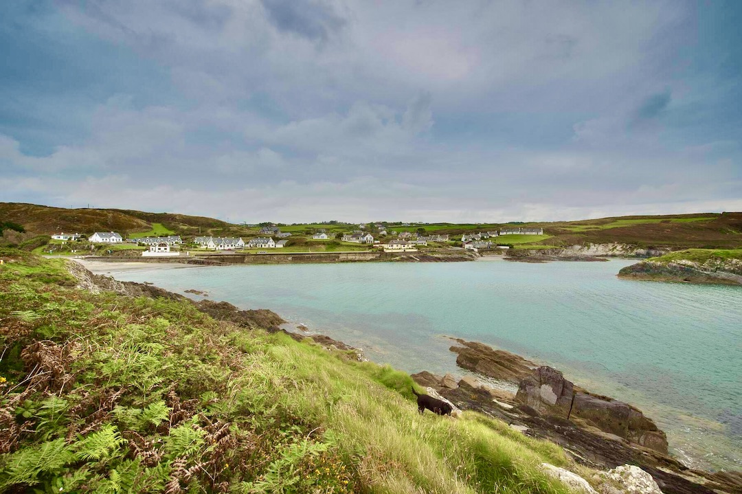 Faill na SeabhachCliff · 1.7 mi
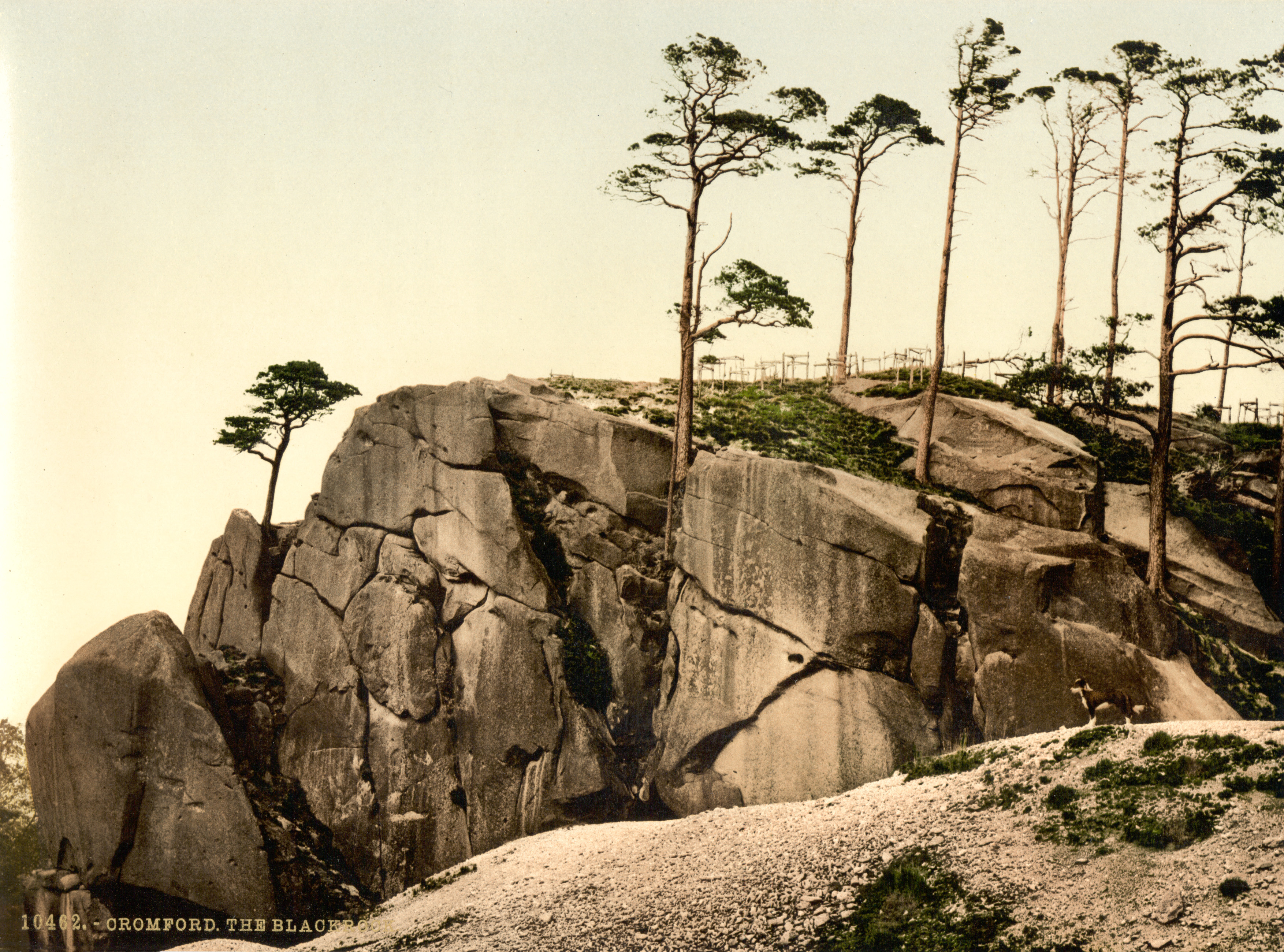 The Black RocksIslet · 1.9 mi