What is recorded here
Clear water flows through Ballyveerane because the fairies dropped a bucket through the fort wall. People call it a fairy fort, but it is an earthen ringfort on a SW-facing slope above the Lee River valley. Its bank stands 1.6m high around a broad grassy place, with a narrow gap to the south-west and a shallow ditch outside. The story gives the fort a purpose: it is where human care and fairy mischief meet.
In pasture, on SW-facing slope with extensive view to S overlooking Lee River valley. Roughly circular area (34.2m N-S; 32.9m E-W) enclosed by earthen bank (H 1.6m); external fosse (max. D 0.3m) W->NNE. Bank stone-faced to NE and E with garden of house extending up to base of bank; to S respected by roadway; incorporated into field fence system to NNW where top half of bank stone-faced externally. Entrance (Wth 1.6m) to SSW. Fern-covered interior slopes gently down to SW; overgrown cairn of field clearance stones in SW quadrant.
The above description is derived from the published 'Archaeological Inventory of County Cork. Volume 3: Mid Cork' (Dublin: Stationery Office, 1997). In certain instances the entries have been revised and updated in the light of recent research.
Date of upload/revision: 14 January 2009
The monument record does not grant public access. Check the route and ask the landowner before entering private land.
- What survives
- Recorded monument
Places near here
 KilnKiln, lime · 642 yd
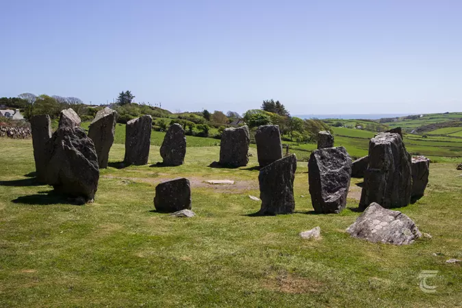 Stone CircleField boundary · 731 yd
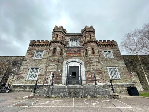 Enclosure in Kill (muskerry West By.)Enclosure · 1188 yd
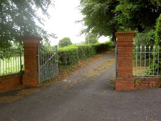 Coolyhane Housecountry house · 1198 yd
 Neill's WoodWood · 1.1 mi
 Macroom WalksVisitor information · 1.2 mi
 Battle of Macroombattle · 1.2 mi
 Macroom Castle (in Ruins)Castle, tower house · 1.2 mi
 Ummera WoodWood · 1.5 mi
 Clonavrick CliffCliff · 2.0 mi
 Mashanaglass Castle (in Ruins)Castle, tower house · 3.0 mi
 BurrenMountain / peak · 3.2 mi