What is recorded here
Fairy forts are no longer judged by the size of their banks but the clarity of their shape. In Ballyteige Upper that circular line still stands beside marshy pasture, shallow enough for grass to cross yet distinct enough to exclude forgetfulness. A person may have lived there, feared rain or tended animals beside it. The earth remembers the choice to keep one place separate from the rest.
In low-lying marshy pasture. Circular area (29m N-S; 29.5m E-W) enclosed by earthen bank (int. H 0.8m; ext. H 1.1m). Interior under pasture and slopes gently up towards centre. Recent-cut drain abuts enclosure on E side.
Compiled by: Denis Power
Date of upload: 26 August 2011
The monument record does not grant public access. Check the route and ask the landowner before entering private land.
- What survives
- Recorded monument
Places near here
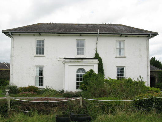 Ballyteigue Housecountry house · 622 yd
 Enclosure in Ballyteige UpperEnclosure · 823 yd
 Parknaraby FortArchaeological place · 907 yd
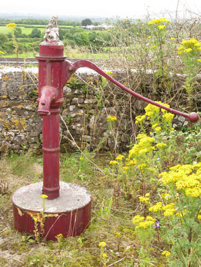 water pumpwater pump · 1048 yd
 Eagle Mount MoteCastle, motte · 1.7 mi
 Bruree Castle Lower (in ruins)Castle, Anglo-Norman masonry castle · 1.8 mi
 Saint Derivla's WellSpring · 3.5 mi
 Our Lady's WellSpring · 4.5 mi
 Holy Cross CemeteryGraveyard · 5.1 mi
 KnockfeerinaMountain / peak · 5.4 mi
 Famine stoneMemorial · 5.9 mi
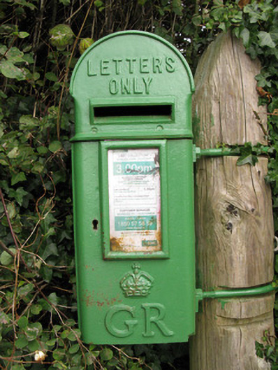 post boxpost box · 1068 yd