What is recorded here
Fairy fort in Ballyteige Lower is a circular earthen ringfort about twenty metres across, hidden beneath trees and bushes on low pasture land in County Limerick. Its bank still rises a metre and a half outside, pinches into an angular corner at the northwest, and opens through a two-metre gap on the east. People may have lived there before the field boundary curved around it, but now the fort belongs more to shadow and story than to memory.
In pasture, on low-lying undulating terrain. Circular area (diam. c. 20m) enclosed by earthen bank, with external fosse (D 0.35m; Wth 1.2m) N->SSE; both are heavily masked by overgrowth. Bank (int. H 0.5m; ext. H 1.3m), best preserved NE->SE, forms angular corner at NW. Entrance (Wth 2m) at E. Field boundary skirts around enclosing bank S->W. Level interior is covered with trees and bushes.
Compiled by: Denis Power
Date of upload: 26 August 2011
The monument record does not grant public access. Check the route and ask the landowner before entering private land.
- What survives
- Recorded monument
Places near here
 Enclosure in Ballyteige UpperEnclosure · 1072 yd
 Glenbrook Housecountry house · 1291 yd
 IndicatedFairy fort / earthen ringfort · 1374 yd
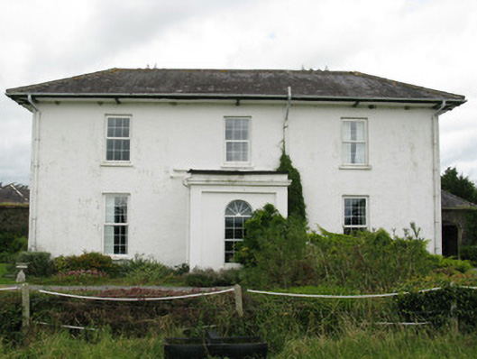 Ballyteigue Housecountry house · 1.3 mi
 Bruree Castle Lower (in ruins)Castle, Anglo-Norman masonry castle · 2.5 mi
 Eagle Mount MoteCastle, motte · 2.6 mi
 Saint Derivla's WellSpring · 3.0 mi
 Our Lady's WellSpring · 3.8 mi
 KnockfeerinaMountain / peak · 4.4 mi
 Famine stoneMemorial · 4.9 mi
 Flat cemetery in Kiltenan SouthFlat cemetery · 7.7 mi
 National Co-op MuseumMuseum · 9.7 mi