What is recorded here
Situated on high ground in upland area. Raised circular area (diam 35m E-W) enclosed by two earth and stone banks with intervening fosse (Wth 3m). Causeway entrance (Wth. 3m) at NE. Inner bank (Wth 2m; int. H 0.5m; ext. H 2.2m max.) is best preserved at E while outer bank (Wth 2m) is used as a field boundary from NE through E to SW elsewhere it is destroyed.
The above description is derived from the published 'Archaeological Inventory of County Offaly' (Dublin: Stationery Office, 1997). In certain instances the entries have been revised and updated in the light of recent research.
Date of upload: 23 May 2011
The monument record does not grant public access. Check the route and ask the landowner before entering private land.
- What survives
- Recorded monument
Places near here
 IndicatedCastle, unclassified · 1310 yd
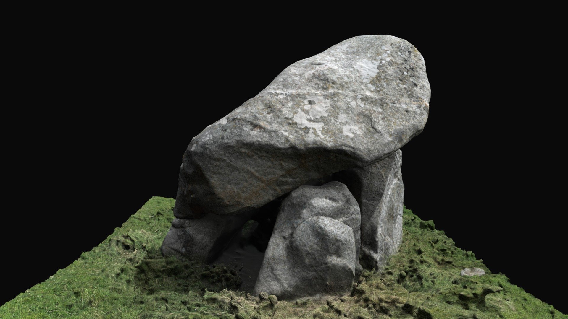 Enclosure in BallybrackEnclosure · 1387 yd
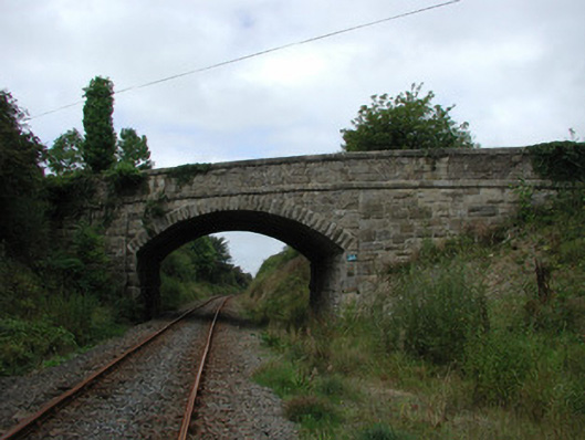 bridgebridge · 1736 yd
 Settlement desertedSettlement deserted, medieval · 1.2 mi
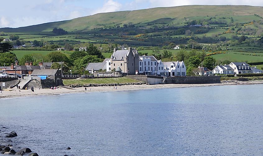 Castle (in ruins)Castle, tower house · 1.2 mi
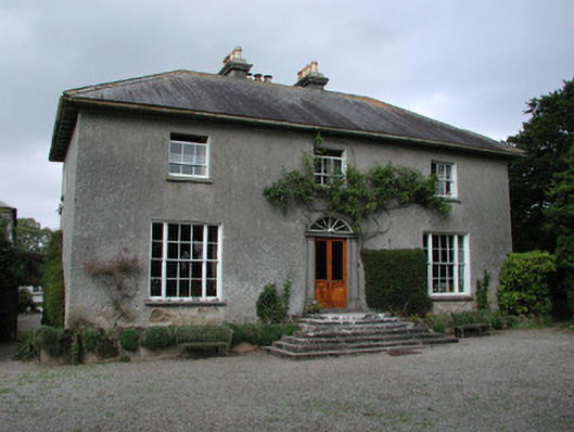 Clyduff Housefarm house · 1.2 mi
 White MulberryWhite Mulberry · 1.9 mi
 Coolock WoodForest · 2.0 mi
 Roscrea Petty Sessions HouseHeritage attraction · 3.2 mi
 Eagle HillMountain / peak · 3.4 mi
 Golden Grove HillMountain / peak · 3.8 mi
 Thomas MacDonagh Heritage CentreMuseum · 7.3 mi