What is recorded here
Situated on top of an E-W ridge with extensive views. A large circular area (diam. 49m N-S) enclosed by two earth and stone banks with a wide flat-bottomed intervening fosse (Wth 3m; D 1.2m) and causewayed entrance (Wth 4.3m) at S. The inner bank (Wth 2m; int. H 0.3m; ext. H 3m) is the best preserved while the outer bank (Wth 1.1m; ext. H 1.1m) and fosse are destroyed from W to N. There is a large depression covered in scrub in the E sector of the site. Drystone wall-facing along the external face of the outer bank, best preserved from S to W, may be a later nineteenth-century feature. The outer bank may be a field boundary following the line of the inner bank because the wall-footings of the stone-facing cut across the entrance gap at S.
The above description is derived from 'The Archaeological Inventory of County Tipperary. Vol. 1 - North Tipperary' compiled by Jean Farrelly and Caimin O'Brien (Dublin: Stationery Office, 2002). In certain instances the entries have been revised and updated in the light of recent research.
Date of upload/revision: 22 September 2008
The monument record does not grant public access. Check the route and ask the landowner before entering private land.
- What survives
- Recorded monument
Places near here
 Derrinvohil Househouse · 541 yd
 Water millWater mill, unclassified · 1159 yd
 Enclosure in CloonawillinEnclosure · 1348 yd
 LisheenEnclosure · 1.1 mi
 Borris WoodWood · 1.4 mi
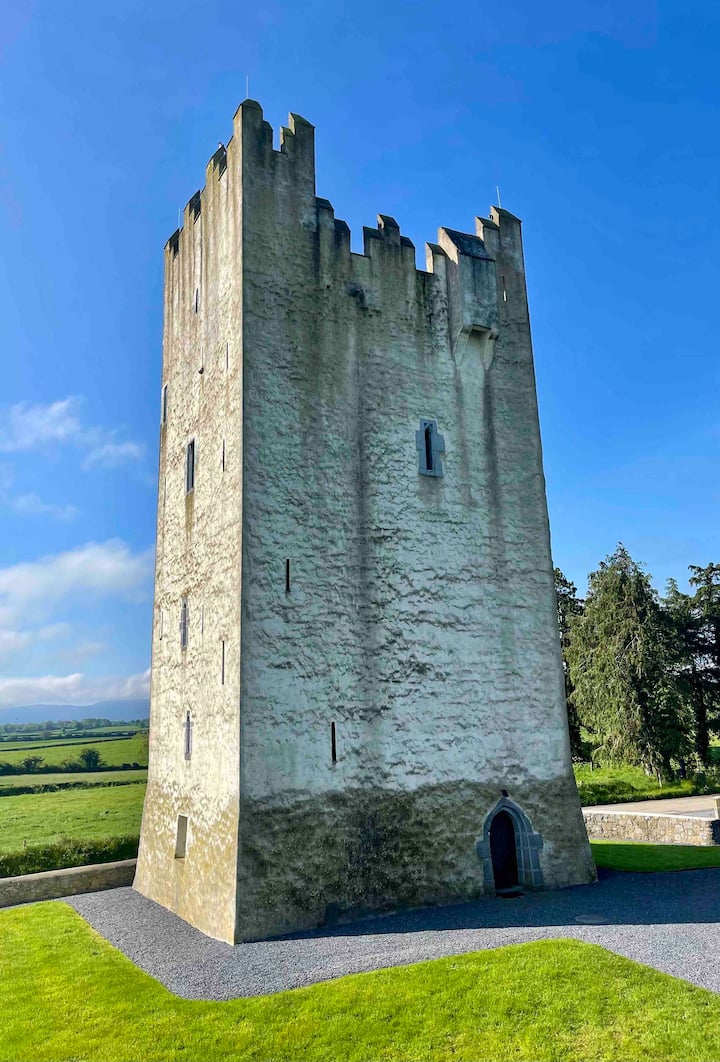 Kilfadda Castle (in ruins)Castle, Anglo-Norman masonry castle · 2.0 mi
 Tombrickan CastleCastle · 2.1 mi
 Slevoir BayBay · 3.8 mi
 Roger's IslandIslet · 4.9 mi
 Hayes IslandIsland · 5.1 mi
 Black mulberryBlack mulberry · 5.4 mi
 Portumna Castlegate lodge · 5.7 mi