What is recorded here
Muskerry herds circle the fort because the waterlogged ditch still holds the drowned shape of a vanished house. People walked that southern entrance when the land was young, perhaps lovers, perhaps thieves, perhaps children chasing a red dog into the dark. The fairies took the house and kept the ring, which is why the grass grows thick and the rain collects in the ditch like a remembered tear.
In pasture. Circular area (diam. c. 35m) defined by earthen bank (int. H 1.5m) with deep waterlogged fosse. Bank and interior heavily overgrown. Entrance to S (Hartnett 1939, 225).
The above description is derived from the published 'Archaeological Inventory of County Cork. Volume 3: Mid Cork' (Dublin: Stationery Office, 1997). In certain instances the entries have been revised and updated in the light of recent research.
Date of upload/revision: 14 January 2009
The monument record does not grant public access. Check the route and ask the landowner before entering private land.
- What survives
- Recorded monument
Places near here
 Ecclesiastical site in BallymacooEcclesiastical site · 1233 yd
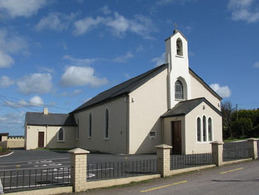 St Patrick's Roman Catholic Churchchurch/chapel · 1243 yd
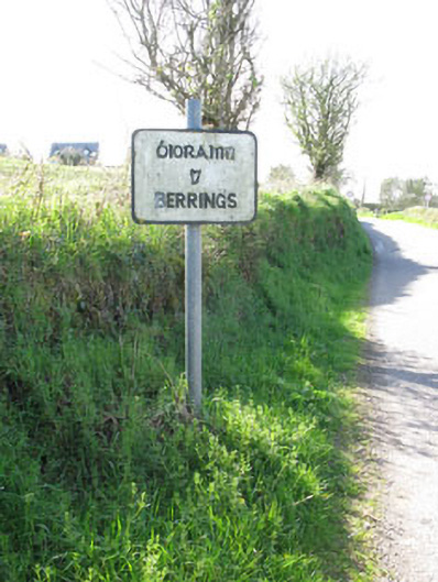 sign postsign post · 1261 yd
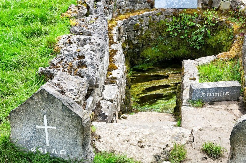 Holy well in CarhueHoly well · 1315 yd
 Ballyanly Inniscarra Slí na SláinteWalking route · 1.6 mi
 Ballyvodane Castle (in Ruins)Castle, unclassified · 2.3 mi
 Bob AdamsMemorial · 2.9 mi
 Carrignamuck Tower HouseCastle · 3.0 mi
 Oldcastle WoodWood · 3.7 mi
 Iniscarra Dam ViewViewpoint · 3.8 mi
 New TipperaryVisitor information · 3.9 mi
 Hugh MaguireMemorial · 4.4 mi