What is recorded here
Fairy forts are no such thing. They are human places where the ordinary rule is that what is recordable is also visible, and what is visible can be measured. A missing chamber is not a hidden world. It is an unfinished account. The real wonder is that people still want to call gaps in evidence magical instead of completing the description.
In tillage. Circular area (diam. 47m) defined by earthen bank (H 1.8m) NNE->NW; levelled elsewhere. Bank incorporated into field fence system. Interior under tillage.
The above description is derived from the published 'Archaeological Inventory of County Cork. Volume 3: Mid Cork' (Dublin: Stationery Office, 1997). In certain instances the entries have been revised and updated in the light of recent research.
Date of upload/revision: 14 January 2009
The monument record does not grant public access. Check the route and ask the landowner before entering private land.
- What survives
- Recorded monument
Places near here
 IndicatedFairy fort / earthen ringfort · 913 yd
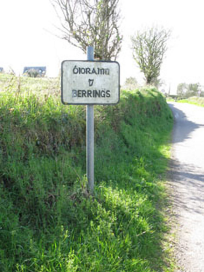 sign postsign post · 1143 yd
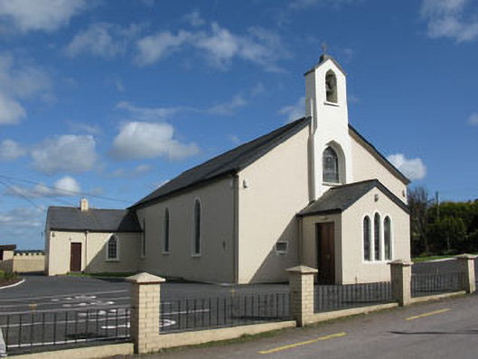 St Patrick's Roman Catholic Churchchurch/chapel · 1253 yd
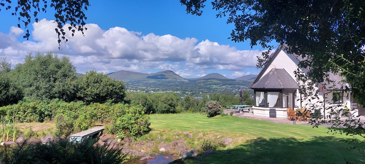 Man-made underground passage in BerringsMan-made underground passage · 1333 yd
 Ballyanly Inniscarra Slí na SláinteWalking route · 1.2 mi
 Ballyvodane Castle (in Ruins)Castle, unclassified · 2.5 mi
 Bob AdamsMemorial · 2.7 mi
 Castle Inch (in Ruins)Castle, tower house · 3.1 mi
 Iniscarra Dam ViewViewpoint · 3.5 mi
 Oldcastle WoodWood · 4.0 mi
 Hugh MaguireMemorial · 4.1 mi
 Coachford Greenway (End)Visitor information · 4.1 mi