What is recorded here
Situated at a break in NE-facing slope. Oval area (dims. 44.5m NW-SE; 39.3m NE-SW) defined by an earthen bank (Wth 5-6m; H 0.3-1.9m), well-preserved at NE where some boulder revetment survives. No indication of a fosse. Two gaps, at the NE (Wth 3m) and SE (Wth 2m), either of which may represent an entrance. To the NE of the centre is a raised rectangular area (dims. 4m NE-SW; 6m NW-SE; H 0.4m), possibly a hut or house foundation.
The above description is derived from the published 'Archaeological Inventory of County Wicklow' (Dublin: Stationery Office, 1997). In certain instances the entries have been revised and updated in the light of recent research.
Date of upload/revision: 17 December 2008
The monument record does not grant public access. Check the route and ask the landowner before entering private land.
- What survives
- Recorded monument
Places near here
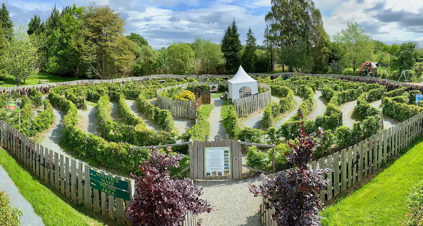 Greenan Farm Museum & MazeMuseum · 1357 yd
 Ladys WellHoly well · 1500 yd
 Enclosure in Ballard (ballinacor South By.)Enclosure · 1648 yd
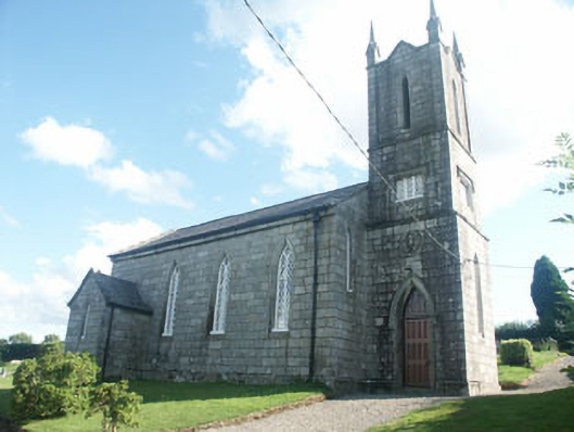 Ballinatone Church (Ballinacor)church/chapel · 1.3 mi
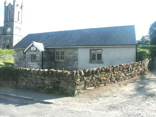 Ballinatone Schoolschool · 1.3 mi
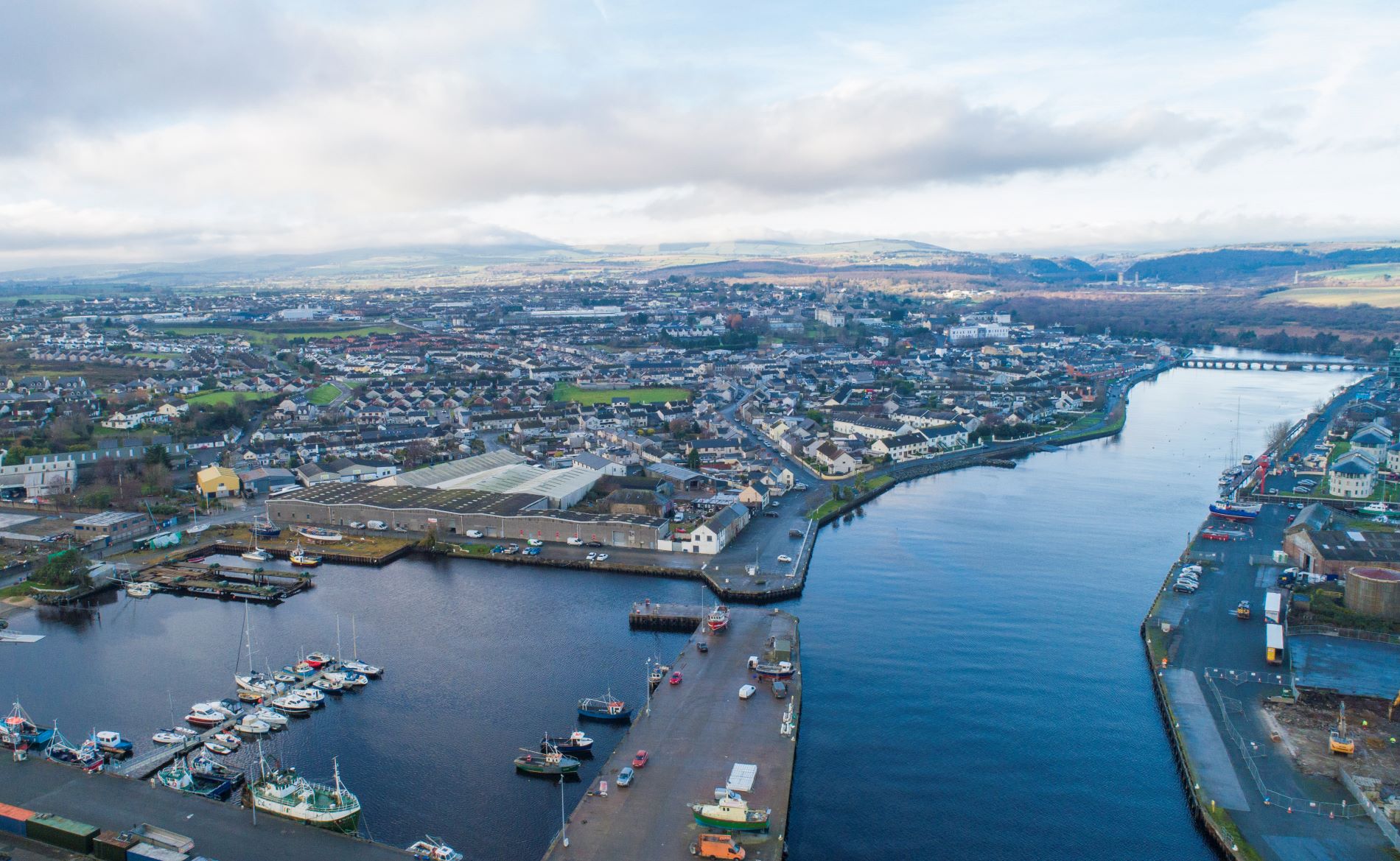 Site of Phelims CastleCastle, tower house · 1.6 mi
 Site of Phelim's CastleRuins · 1.6 mi
 Ballinacor MountainMountain / peak · 1.8 mi
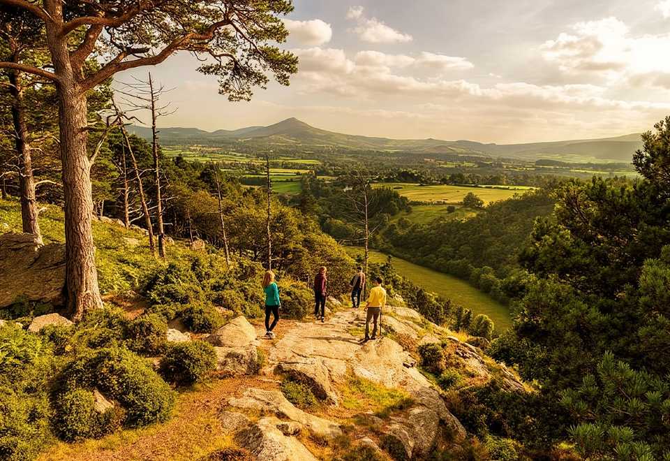 Ballyteige WoodForest · 2.7 mi
 CroaghanmoiraMountain / peak · 2.8 mi
 Meeting of the WatersHeritage attraction · 3.3 mi
 European YewEuropean Yew · 3.5 mi