What is recorded here
Fairy forts in Ireland are often earthen ringforts, human-made and practical, with a boundary, a gap and a defensible edge. In Ballyshane the circle is about twenty-eight metres across, banked, ditched and opened to the south, set on a shallow slope now lost under grass. The fairy name comes later, when people stopped knowing the purpose and gave the shape to something smaller, quicker and less answerable.
In pasture, on a slight NNE-facing slope. Circular area (28.1m N-S; 28.5m E-W) enclosed by earthen bank (int. H 0.35m; ext. H 1.25m) with external fosse (D 0.65m; Wth 2.75m). Gap (Wth 2.15m) across scarped edge at S. Fosse partially infilled SW->WNW. A field boundary abuts outer edge of fosse at NE. Another field boundary, shown skirting enclosure NE->E on 1924 OS 6-inch map, has been removed. Interior slopes down slightly to W, and is under pasture except margins which are covered by overgrowth as is enclosing element.
Compiled by: Denis Power
Date of upload: 26 August 2011
This remains an important historical record, but the official description says the monument is no longer visible or has been destroyed. The monument record does not grant public access. Check the route and ask the landowner before entering private land.
- What survives
- No visible remains or recorded as destroyed
Places near here
 Holy well in Ballyshane (glenquin By.)Holy well · 239 yd
 Enclosure in BallymackesyEnclosure · 1227 yd
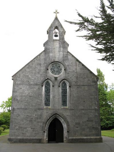 Saint Mary's Catholic Churchchurch/chapel · 1432 yd
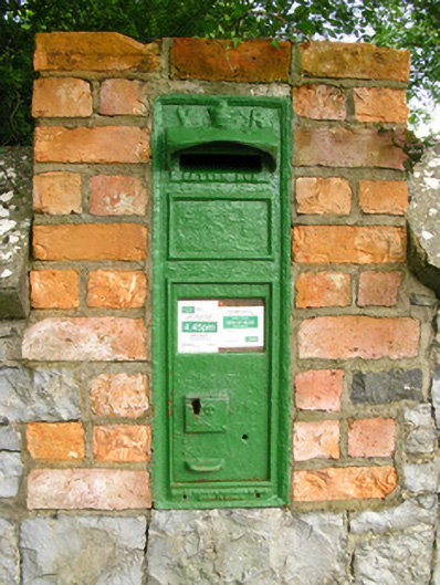 post boxpost box · 1480 yd
 Templars Castle (in ruins)Castle, Anglo-Norman masonry castle · 1.8 mi
 Dotted outlineBawn · 3.1 mi
 Limerick GreenwayWalking route · 3.2 mi
 Saint Ite's WellSpring · 3.2 mi
 Sugar HillMountain / peak · 3.7 mi
 TobereenalaffinaSpring · 4.2 mi
 Ballagh MountainMountain / peak · 4.3 mi
 Mullaghareirk - Banane LoopWalking route · 8.1 mi