What is recorded here
Marianne stopped her car on the gravel track and stared at the white tower rising above the trees. She had driven past that coast a hundred times, but she had never seen the tower before. The bridge deck vibrated beneath her feet as a small boat crossed the water below. Marianne touched the warm stone and remembered the woman in the kitchen, pouring tea for someone who had not entered the room.
In pasture, at bend in Owenncurra river. Shown as hachured circular enclosure on 1842 OS 6-inch map, on promontory of land jutting northwards with river curving round NW, N and NE sides. Slight traces of raised bank with fosse to S running E-W across S end promontory; partially interrupting this to N, shallow fosse curves ESE->WSW (C 28.4m), where it runs over edge river cliff; could represent fosse of fort shown abutting field fence to S on 1842 OS 6-inch map. Area shows as forested on 1935 OS 6-inch map; small depression to N (2.2m N-S; 1.4m E-W; D 0.3m) could represent Man-made underground passage or tree-hole.
The above description is derived from the published 'Archaeological Inventory of County Cork. Volume 2: East and South Cork' (Dublin: Stationery Office, 1994). In certain instances the entries have been revised and updated in the light of recent research.
Date of upload/revision: 14 January 2009
The monument record does not grant public access. Check the route and ask the landowner before entering private land.
- What survives
- Recorded monument
Places near here
 Duinin RuadhEnclosure · 478 yd
 IndicatedFairy fort / earthen ringfort · 922 yd
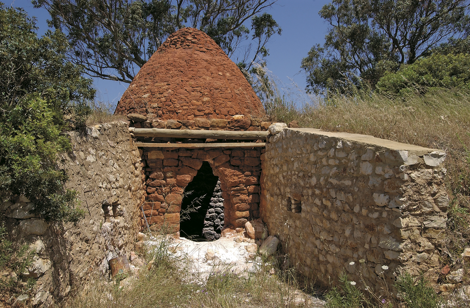 KilnKiln, lime · 1.1 mi
 Woollen Factory RuinsRuins · 1.2 mi
 Leamlara Castle (in Ruins)Castle, tower house · 1.6 mi
 Moanbaun ForestForest · 1.8 mi
 Court (site of )Castle, unclassified · 1.9 mi
 Monananig WoodsWood · 2.0 mi
 Devonshire's HillMountain / peak · 2.8 mi
 Rathcormac massacremassacre · 4.1 mi
 Gleeson MemorialMemorial · 4.2 mi
 Graveyard in Broomfield WestGraveyard · 5.1 mi