What is recorded here
In gently undulating pasture. Roughly circular area (23.1m N-S; 27m E-W) defined by scarped edge, and bisected by field boundary on E-W axis. Another field boundary, shown on 1923 OS 6-inch map as abutting latter just E of centre on S side, has been removed. On N side of field boundary scarp is more pronounced (H 1m; Wth 2m) than on S side (H 0.6m; Wth 6m) where it has been partially levelled. Scarp is tree-lined on N side, but S side is free from overgrowth. On S side slight fosse evident (D c. 0.2m; Wth c. 4m) at base of scarp. Interior slopes down gently to S; on N side of boundary it is overgrown by trees but on S side is under pasture.
Compiled by: Denis Power
Date of upload: 26 August 2011
This remains an important historical record, but the official description says the monument is no longer visible or has been destroyed. The monument record does not grant public access. Check the route and ask the landowner before entering private land.
- What survives
- No visible remains or recorded as destroyed
Places near here
 presbytery/parochial/curate's housepresbytery/parochial/curate's house · 344 yd
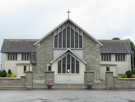 Saint Michael's Catholic Churchchurch/chapel · 362 yd
 Gobnet's FortArchaeological place · 508 yd
 Saint Derivla's WellSpring · 881 yd
 Cooreagh Fort - HachuredFairy fort / earthen ringfort · 1.2 mi
 Our Lady's WellSpring · 1.8 mi
 Castle (in ruins)Castle, hall-house · 1.8 mi
 IndicatedCastle, motte · 1.9 mi
 KnockfeerinaMountain / peak · 4.9 mi
 Famine stoneMemorial · 5.1 mi
 Holy Cross CemeteryGraveyard · 5.8 mi
 National Co-op MuseumMuseum · 7.0 mi