What is recorded here
Fairy forts hide in plain sight, wearing pasture and marsh like a disguise. Ballyrune throws that disguise into relief: a sub-circular bank of earth and stone, wide enough to walk around and tall enough to mark the edge of another world. The hawthorn thickets inside are not accidental; they are the fort’s living roof, shading what the field would otherwise forget.
In low-lying pasture, near base of E-facing slope into marsh, in area of outcropping limestone. Sub-circular area (23.6m N-S; 28.3m E-W) enclosed by earth-and-stone bank (int. H 0.7m; ext. H 0.5m) which is best preserved SE->WNW. Interior, covered with hawthorn trees, slopes gently down to E. Seams of exposed bedrock incorporated into bank at NE.
Compiled by: Denis Power
Date of upload: 26 August 2011
See attached ASI aerial photographs ASIAP – taken on 04/03/2006.
The monument record does not grant public access. Check the route and ask the landowner before entering private land.
- What survives
- Recorded monument
Places near here
 Kildimo (Old)Settlement cluster · 1047 yd
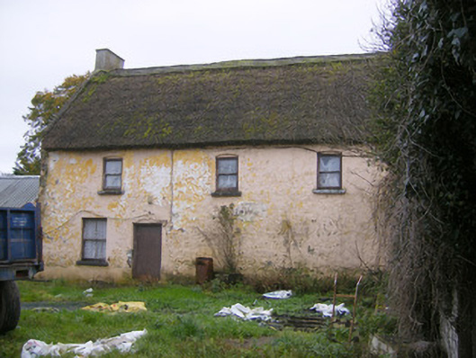 Ashgrove Househouse · 1237 yd
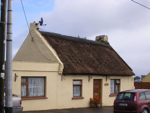 An Teach Tuíhouse · 1294 yd
 Cullam CastleCastle · 1356 yd
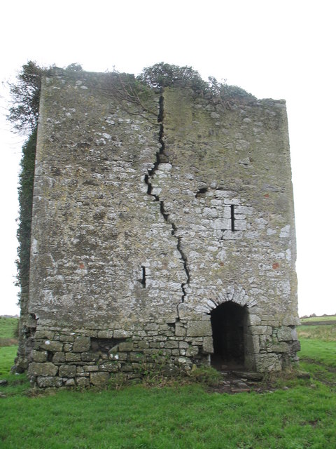 Court Castle (in ruins)Castle, tower house · 1537 yd
 Burial ground in KildimoBurial ground · 1.0 mi
 Celtic Park and GardensHeritage attraction · 2.2 mi
 Stonehall Visitor FarmHeritage attraction · 3.2 mi
 European BeechEuropean Beech · 3.3 mi
 St James's WellSpring · 3.5 mi
 Grass IslandIslet · 3.8 mi
 Sailors HaggardMemorial · 3.8 mi