What is recorded here
Fairy fort in Ballyroe (maher) is a roughly circular earthen ringfort on the south side of a narrow valley, preserving a broad bank, faint outer ditch and a flat entrance beside a small stream. It may have served as a defended home, a boundary marker or a gathering place for the valley, while local imagination still hears tiny drums inside its quiet earth. The surviving shape suggests people valued the view, the water and the shelter of the rising land, even if the names and events have faded from memory.
On the S side of a NW-SE valley, with land rising slightly up to flat terrace below the crest of hills to the S and SW, in pasture. There are good views along and across the valley to the N, E and W. A small stream runs NE-SW past NW sector. A roughly circular area (int. diam. c. 34m) enclosed by a low, wide earthen bank (int. H 0.3-0.4m; ext. H 0.9-1.2m; Wth 2m) and traces of external fosse (Wth 3m; D 0.3m), except at NW where there is a flat external berm (Wth 6m) which drops to the stream. There is an entrance (Wth 2.5m) in the downslope NE quadrant. In the SW sector the bank has been incorporated in a field boundary which runs NW-SE along the SW edge of the monument.
Compiled by: Jean Farrelly
Date of upload: 20 March 2020
The monument record does not grant public access. Check the route and ask the landowner before entering private land.
- What survives
- Recorded monument
Places near here
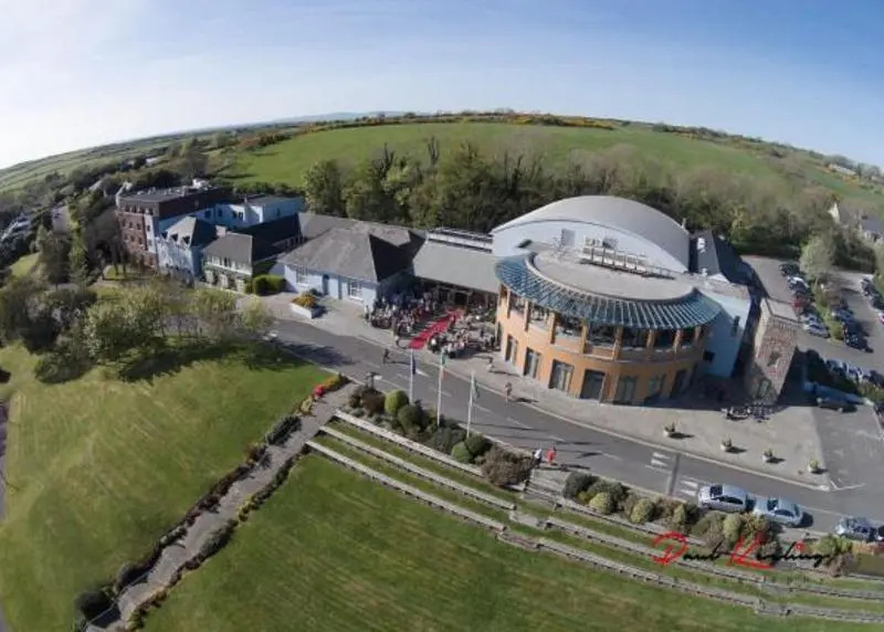 Ballyroe (Maher) RingfortArchaeological place · 14 yd
 Enclosure in Ballyroe (maher)Enclosure · 324 yd
 Not indciatedCastle, unclassified · 1012 yd
 Church in ruinsChurch · 1416 yd
 CastleCastle, ringwork · 1451 yd
 The CopseWood · 1.0 mi
 Brown's WoodWood · 1.1 mi
 Abbey in ruinsChurch · 1.2 mi
 Freshford LoopWalking route · 1.6 mi
 Emma Jane Browne-ClaytonMemorial · 2.2 mi
 Clomantagh HillMountain / peak · 4.3 mi
 DelaneyMemorial · 6.3 mi