What is recorded here
Fairy fort in Ballyrobin South is a broken earthen ring on a west-facing slope, still holding its shape inside pasture. People may have lived there before memory faded, or the land may have simply marked a boundary for unseen company. Either way, the bank and ditch remain clear enough to walk around, and the causeway still points east as if waiting for someone to return.
In pasture, on W-facing slope. Circular area (27m E-W; 26m N-S) enclosed by earthen bank (H 0.45m); external fosse (D 0.75m) N->SSE; silted-up fosse elsewhere. Entrance with causeway to E (Wth 3m).
The above description is derived from the published 'Archaeological Inventory of County Cork. Volume 2: East and South Cork' (Dublin: Stationery Office, 1994). In certain instances the entries have been revised and updated in the light of recent research.
Date of upload/revision: 14 January 2009
The monument record does not grant public access. Check the route and ask the landowner before entering private land.
- What survives
- Recorded monument
Places near here
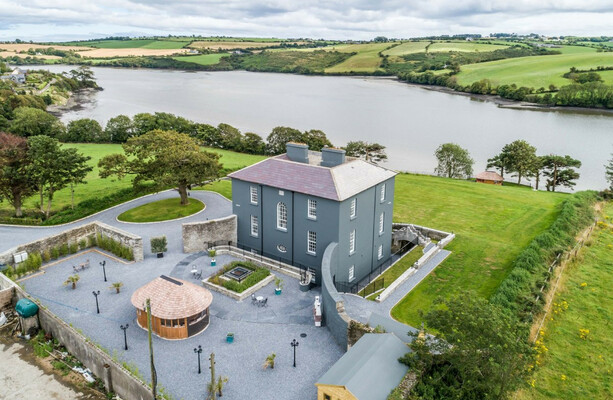 LissowenEnclosure · 701 yd
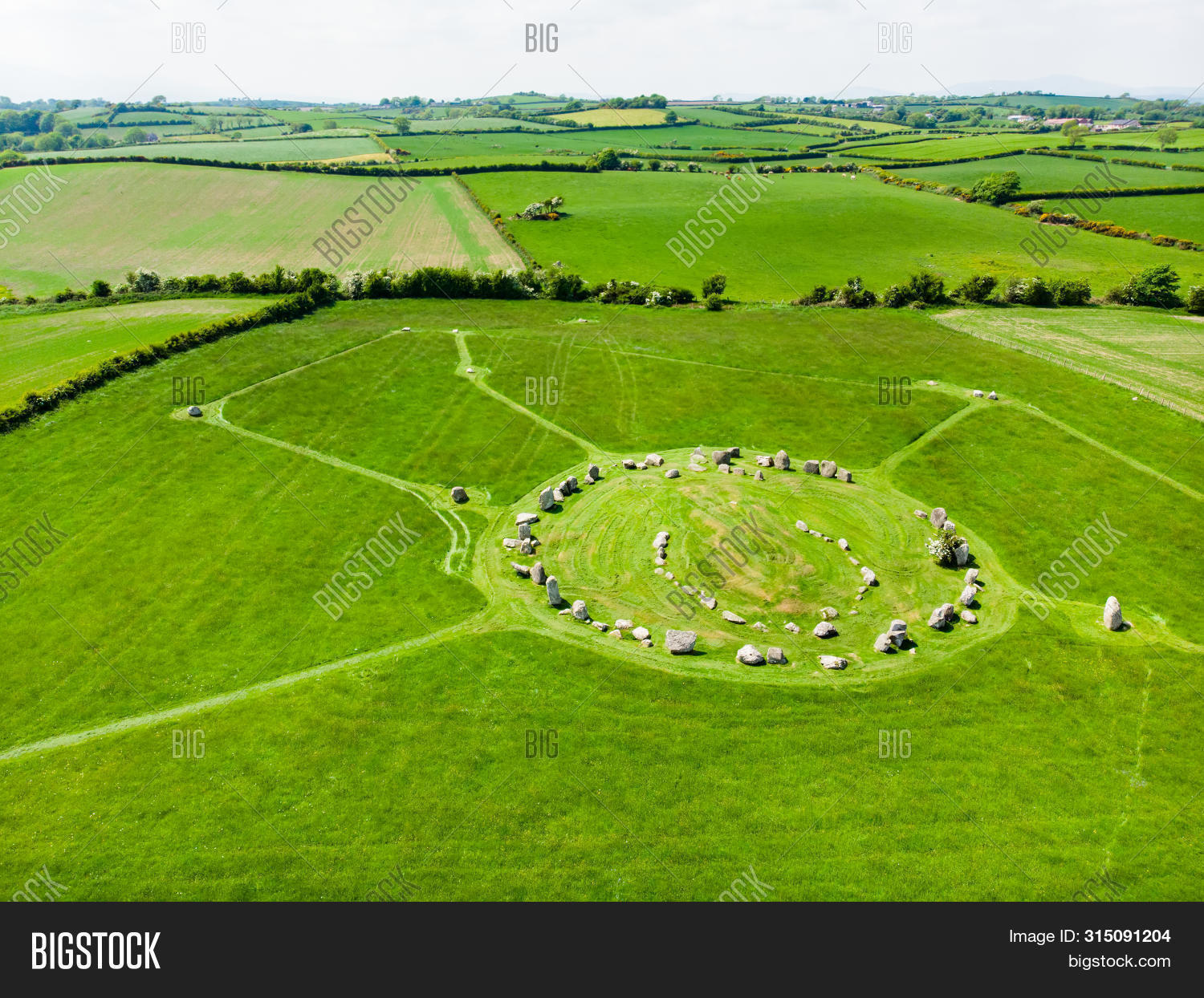 Prehistoric sitePrehistoric site, lithic scatter · 1061 yd
 Ballycroneen BeachBeach / strand · 1091 yd
 Ballybrannigan BeachBeach / strand · 1.2 mi
 sign postsign post · 1.2 mi
 Anchor The SagaMemorial · 1.5 mi
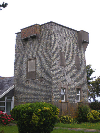 Ballmacotter Castlesignal tower · 1.6 mi
 Doonpower (in Ruins)Castle, unclassified · 3.2 mi
 PohutukawaPohutukawa · 3.5 mi
 Sweet ChestnutSweet Chestnut · 3.5 mi
 RobertMemorial · 3.6 mi
 Fossil Worm TrackNamed rock · 3.6 mi