What is recorded here
Situated on the S edge of a low hill. Circular area (diam. 33m) defined by an earthen bank from SE-W-NE (Wth 4m; H 0.5-0.7m) and an external fosse from SW-W-NE (Wth 2.5m; D 0.3m). At E the perimeter is defined by a scarp. A possible causeway (Wth 3m) occurs at the NE but at this point the bank is poorly preserved and there is no indication of a corresponding gap. No internal features other than ridge and furrow marks.
The above description is derived from the published 'Archaeological Inventory of County Wicklow' (Dublin: Stationery Office, 1997). In certain instances the entries have been revised and updated in the light of recent research.
Date of upload/revision: 17 December 2008
The monument record does not grant public access. Check the route and ask the landowner before entering private land.
- What survives
- Recorded monument
Places near here
 Calary Churchchurch/chapel · 1301 yd
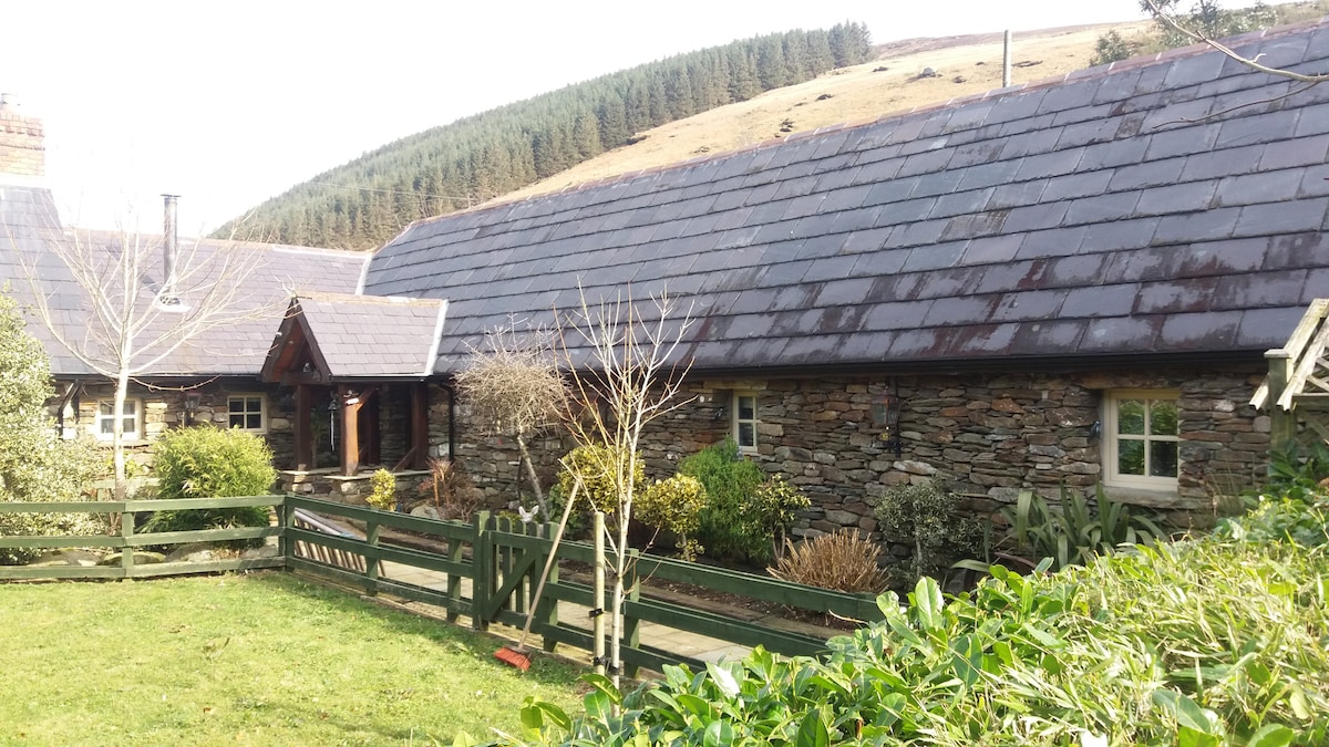 Enclosure in GlasnamullenEnclosure · 1322 yd
 Deerpark TrailWalking route · 1710 yd
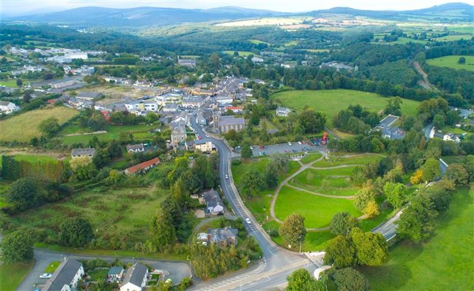 Enclosure in Ballyremon CommonsEnclosure · 1.0 mi
 Giant SequoiaGiant Sequoia · 1.3 mi
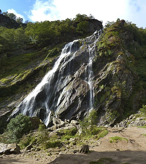 Powerscourt WaterfallWaterfall · 1.3 mi
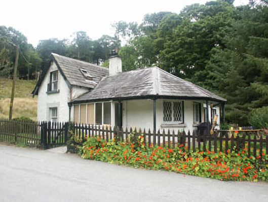 gate lodgegate lodge · 1.5 mi
 Great SugarloafMountain / peak · 1.9 mi
 Great Sugar LoafMountain · 2.0 mi
 The Sugar Loaf WayWalking route · 2.1 mi
 Crone WoodForest · 2.2 mi
 MaulinMountain / peak · 2.3 mi