What is recorded here
Mortons and others may have built the Ballynure fort, but the fairies took it back. They widened the entrance for their own processions and erased every human mark they could reach. The clay remembers dancing more than dwelling now.
Situated at the SW end of a small NE-SW ridge, with a small N-S ravine immediately to the E. This is a circular grass-covered area (diam. 28.5m NW-SE; 27.5m) defined by a slight but overgrown earthen bank NNW-E that is largely reduced to an overgrown scarp (at SE: H c. 2.4m). There is an outer overgrown fosse and external bank SSW-W-NE that are replaced by the ravine on the E side. There is a large entrance gap (Wth of base 4.2m) in the inner bank at NE which is probably the original entrance, but a gap in the outer bank here (Wth c. 3.5m) is now closed.
The above description is derived from the published 'Archaeological Inventory of County Monaghan' (Dublin: Stationery Office, 1986). In certain instances the entries have been revised and updated in the light of recent research.
Revised by: Michael Moore
Date of revision: 8 May 2018
The monument record does not grant public access. Check the route and ask the landowner before entering private land.
- What survives
- Recorded monument
Places near here
 Old fortFairy fort / earthen ringfort · 181 yd
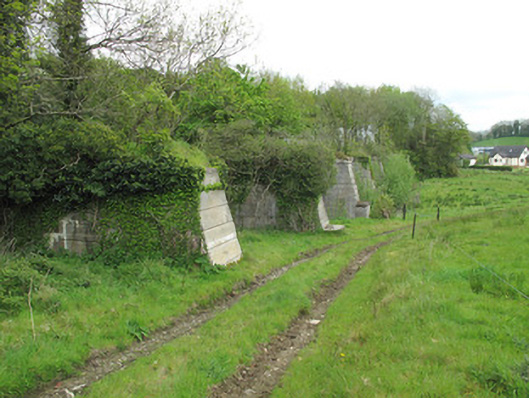 viaductviaduct · 254 yd
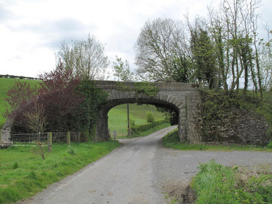 bridgebridge · 376 yd
 Enclosure in EllinureEnclosure · 693 yd
 Common LimeCommon Lime · 994 yd
 Saint John's WellSpring · 1235 yd
 KillycoonaghWood · 1330 yd
 Abbey RuinsHeritage attraction · 2.2 mi
 The Cassandra Hand CentreMuseum · 2.2 mi
 Roosky Castle (Site of)Castle, ringwork · 2.7 mi
 Jaundice WellSpring · 2.8 mi
 Lisarrilly HillMountain / peak · 3.1 mi