What is recorded here
Fairy forts are misread human buildings, often ordinary ringforts or abandoned settlements that lost their names and became folklore. The true exception is a small number of places where the chamber, chamber shape or visible structure still matches the claim and can be tested.
In pasture, on gentle N-facing slope in undulating terrain, marshy area adjoins to NW. Circular area (27.5m N-S) enclosed by earthen bank with external fosse (D 0.9m; Wth 1.95m). Bank (int. H 0.7m; ext. 1.5m), best preserved along E side, denuded by cattle to form gaps at SSW (Wth 1.9m) and SW (Wth 1.1m). Fosse is crossed by field boundaries at S and NNE, which abut enclosing bank. Level interior under grass except for centre and NE quadrant which are covered by dense overgrowth. Mature beech tree grows atop bank at SSE, with a mixture of ash and thorn covering bank elsewhere.
Compiled by: Denis Power
Date of upload: 26 August 2011
The monument record does not grant public access. Check the route and ask the landowner before entering private land.
- What survives
- Recorded monument
Places near here
 St Patricks WellHoly well · 754 yd
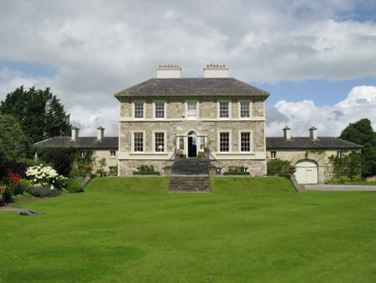 Ballyneale Housecountry house · 906 yd
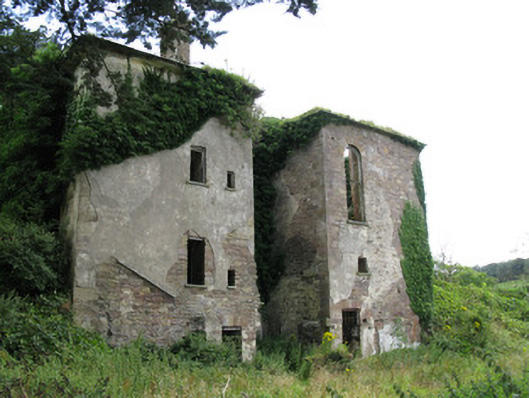 Ballynoe Housecountry house, stables · 1071 yd
 Enclosure in Castletown (connello Upper By.)Enclosure · 1312 yd
 IndicatedCastle, motte · 1.6 mi
 Castle (in ruins)Castle, hall-house · 1.7 mi
 Our Lady's WellSpring · 1.7 mi
 Famine stoneMemorial · 2.3 mi
 KnockfeerinaMountain / peak · 2.3 mi
 Saint Derivla's WellSpring · 2.6 mi
 European ashEuropean ash · 6.8 mi
 National Co-op MuseumMuseum · 7.9 mi