What is recorded here
Mature trees and bushes smother the twin earthen banks of the Ballynoe ringfort, hiding a sub-circular enclosure thirty metres wide atop a low rise. The inner bank still stands two point seven metres high on the western arc, though quarrying has scarred its southern face and reduced the outer defence to a faint ridge. Cattle graze the gentle interior slope today, but the dense vegetation suggests the fort has stood empty for centuries, waiting for human eyes to notice the shape beneath the leaves.
In pasture, atop low rise in undulating terrain. Sub-circular area (26.2m N-S; 30.1m E-W) enclosed by two concentric earthen banks with an intervening fosse (Wth 4.1m). Inner bank (int. H 1.4m; ext. H 2.7m), best preserved W->NE, reduces to a low scarped edge (H 0.45m; Wth 1m) NE->SSE. Outer bank (int. H 1.05m; ext. H 0.6m), best preserved W->NNE, is very much denuded elsewhere. Fosse, best preserved along N arc, has been infilled NE->SSE. External face of inner bank has been quarried out at SW, W and NNW giving impression of a wider fosse. Interior, under pasture, slopes down gently to SE, rises up sharply at edges to meet inner bank. Mature trees and bushes cover enclosing banks.
Compiled by: Denis Power
Date of upload: 26 August 2011
The monument record does not grant public access. Check the route and ask the landowner before entering private land.
- What survives
- Recorded monument
Places near here
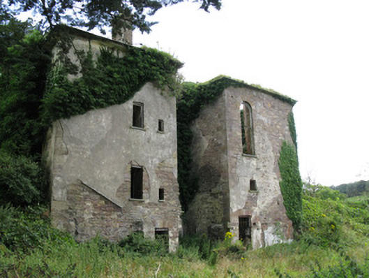 Ballynoe Housecountry house, stables · 542 yd
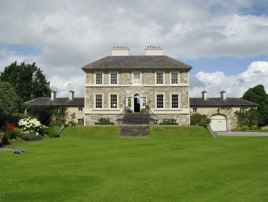 Ballyneale Housecountry house · 653 yd
 Enclosure in Ballynoe (connello Upper By., Ballynoe Ed)Enclosure · 887 yd
 St Patricks WellHoly well · 1091 yd
 IndicatedCastle, motte · 1.5 mi
 Castle (in ruins)Castle, hall-house · 1.6 mi
 Our Lady's WellSpring · 1.6 mi
 Famine stoneMemorial · 2.4 mi
 KnockfeerinaMountain / peak · 2.5 mi
 Saint Derivla's WellSpring · 2.7 mi
 National Co-op MuseumMuseum · 7.7 mi
 Enclosure in Castletown (connello Upper By.)Enclosure · 1195 yd