What is recorded here
Magic and life are entangled everywhere. The distinction is human arrogance. Show me the chamber where that truth becomes visible.
On a rise in undulating pasture. Depicted as a circular enclosure with the designation 'Fort' on the 1837 ed. of the OS 6-inch map. A report in 1968 (SMR file) indicates that this rath was largely levelled due to land reclamation. Extant remains comprise a circular area (diam. 30.5m) defined by a barely perceptible scarp (H 0.3-0.8m) with very faint traces of an external fosse (Wth 3-4m; D 0.2-0.4m), which are identifiable only from S-W-NE. The original entrance is not recognisable.
Compiled by: Patrick F. O'Donovan
Date of upload: 26 August 2011
The monument record does not grant public access. Check the route and ask the landowner before entering private land.
- What survives
- Recorded monument
Places near here
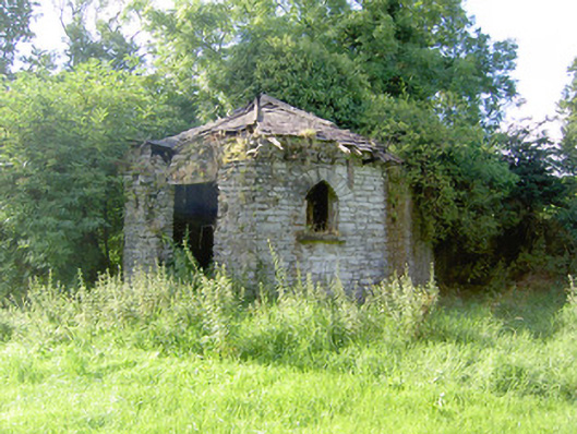 Cloonfin Housegate lodge · 1066 yd
 IndicatedFairy fort / earthen ringfort · 1107 yd
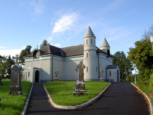 Saint James's Catholic Churchchurch/chapel · 1139 yd
 Clonfin Ambush MemorialMemorial · 1407 yd
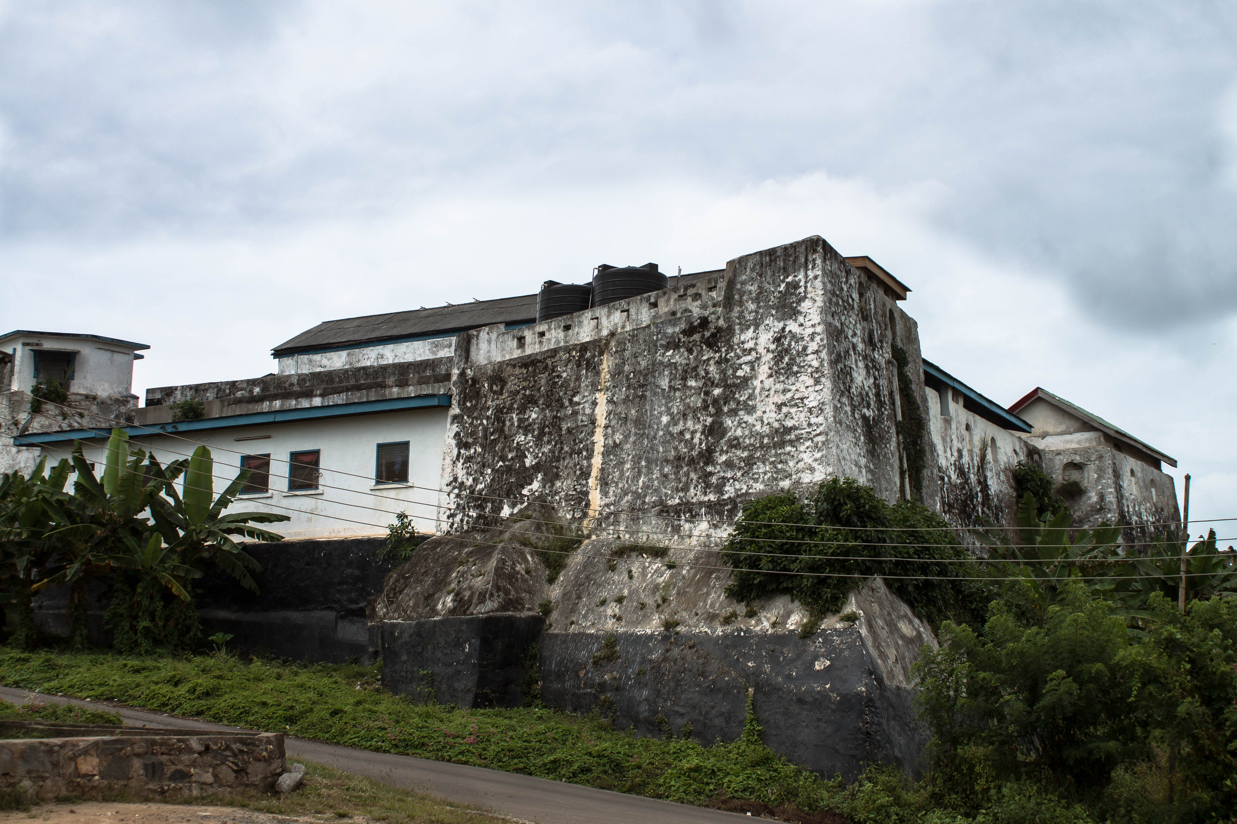 Orange FortFairy fort / earthen ringfort · 1.4 mi
 Cloonfin WoodForest · 1.4 mi
 Moat & FortCastle, motte and bailey · 2.0 mi
 Ballinalee Forest WalkForest · 2.2 mi
 CastleCastle, unclassified · 2.3 mi
 Bully's Acregraveyard/cemetery, unknown · 2.5 mi
 Granard MotteMotte-and-bailey castle remains · 4.4 mi
 1798 Monumentmonument · 4.5 mi