What is recorded here
Fairy fort in Ballynaroon is a circular earthen ringfort, slightly raised, with a bank standing 1.8m outside and 0.3m inside, set on a south-facing slope west of Highlands Country House. It measures about 34.5m east-west and 34m north-south, with faint fosse traces near the road and another ringfort in the field to the north. The 1842 map shows it planted with trees, suggesting people still valued its shape or shade long after its main use had faded.
In tillage, on S-facing slope, W of Highlands Country House. Circular area, slightly raised, (34.5m E-W; 34m N-S) enclosed by earthen bank (int. H 0.3m; ext. H 1.8m) WSW->SSE; traces of fosse ENE-Se just inside road. Shown as planted with trees on 1842 OS 6-inch map. Ringfort (CO075-009---) in field to N.
The above description is derived from the published 'Archaeological Inventory of County Cork. Volume 2: East and South Cork' (Dublin: Stationery Office, 1994). In certain instances the entries have been revised and updated in the light of recent research.
Date of upload/revision: 14 January 2009
The monument record does not grant public access. Check the route and ask the landowner before entering private land.
- What survives
- Recorded monument
Places near here
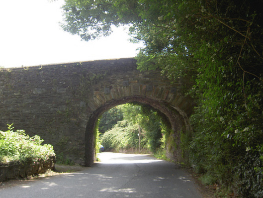 Lacken Roe Bridgebridge · 679 yd
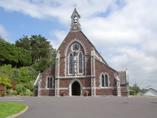 Sacred Heart Roman Catholic Churchchurch/chapel · 927 yd
 Ashbourne ParkWood · 1368 yd
 Grave YardGraveyard · 1492 yd
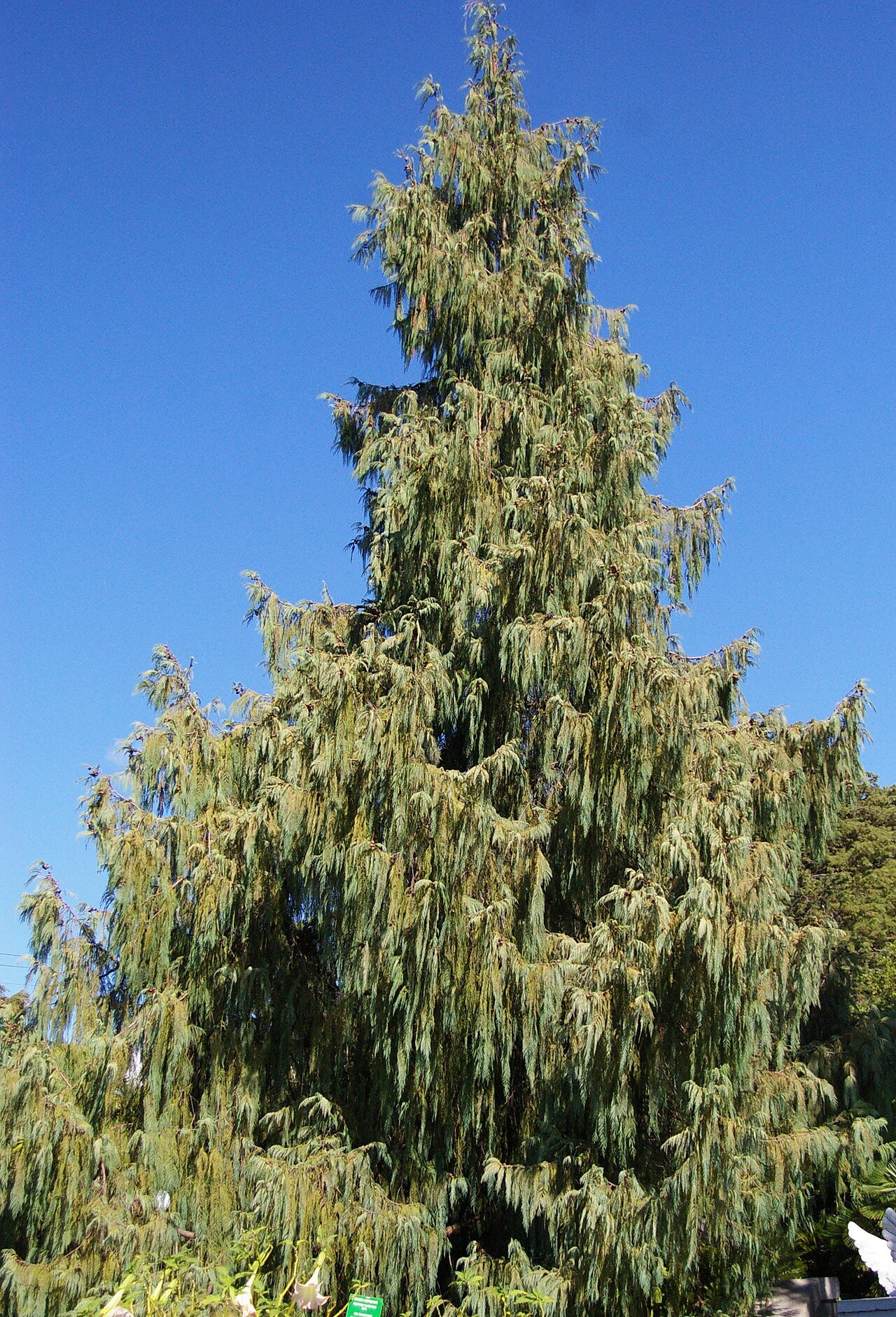 Bhutan CypressBhutan Cypress · 1548 yd
 Castle (Site of)Castle, unclassified · 1.4 mi
 Old Court (Site of)Castle, unclassified · 1.4 mi
 Harper's IslandIslet · 1.6 mi
 Fota Arboretum and GardensHeritage attraction · 2.4 mi
 Goat IslandIslet · 4.3 mi
 Thomas Kent StationMemorial · 4.9 mi