What is recorded here
Fairy fort in Ballynaroon: earthen bank, shallow fosse, level ground, atop a ridge in County Cork. People farmed around it or passed by; the ring kept its shape because it stood out and resisted the plough. Maybe it marked a boundary, a home, a meeting place, or a warning not to dig. The land remembered the shape long after the hands that made it forgot its name.
In tillage, atop ridge. Roughly circular area (46.5m E-W; 40.5m N-S) enclosed by earthen bank (int. H 1.3m) NE->NNW; external fosse (D 0.9m) SSE->SW. Interior level. Ringfort (CO075-010---) in field to S.
The above description is derived from the published 'Archaeological Inventory of County Cork. Volume 2: East and South Cork' (Dublin: Stationery Office, 1994). In certain instances the entries have been revised and updated in the light of recent research.
Date of upload/revision: 14 January 2009
A fairy fort or earthen ringfort in Ballynaroon is a roughly circular early-medieval defensive or domestic site, likely dating to between the 6th and 10th centuries AD. Local folklore may associate such sites with supernatural beings or ancient druids, though specific traditions connected to this example are not recorded.
The monument record does not grant public access. Check the route and ask the landowner before entering private land.
- What survives
- Recorded monument
Places near here
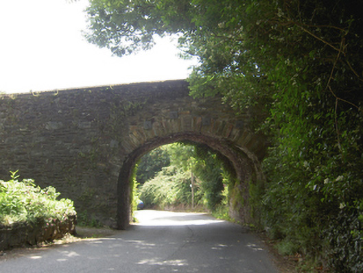 Lacken Roe Bridgebridge · 737 yd
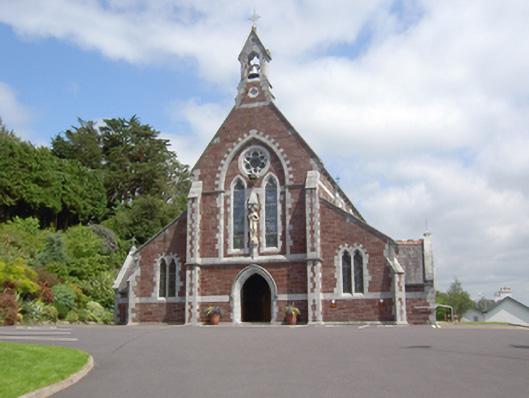 Sacred Heart Roman Catholic Churchchurch/chapel · 994 yd
 Ashbourne ParkWood · 1377 yd
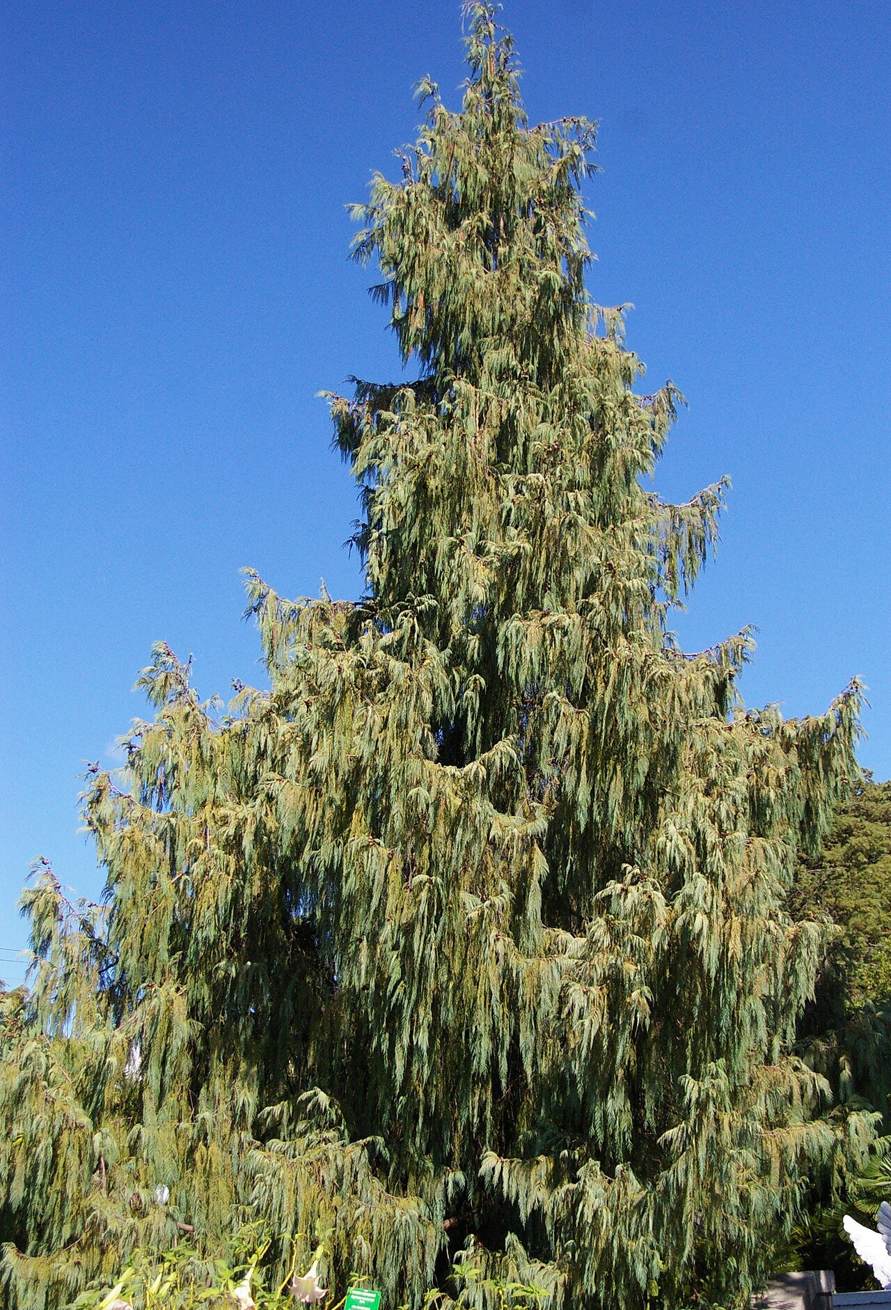 Bhutan CypressBhutan Cypress · 1547 yd
 Grave YardGraveyard · 1583 yd
 Old Court (Site of)Castle, unclassified · 1.4 mi
 Castle (Site of)Castle, unclassified · 1.5 mi
 Harper's IslandIslet · 1.6 mi
 Fota Arboretum and GardensHeritage attraction · 2.4 mi
 Goat IslandIslet · 4.4 mi
 Thomas Kent StationMemorial · 5.0 mi