What is recorded here
Fairy fort in Ballynane, County Kerry: a 30m ring of earth on the lower NW slopes of Brickany mountain, overlooking the Anascaul valley. The downhill bank still stands out because the inside was cut level above the surrounding ground. In that tilted place, a small fort becomes a room set into the hill, with the valley pouring light through it and the mountain holding its roof.
This site is located on steeply sloping pastureland on the lower NW slopes of Brickany mountain overlooking the Anascaul valley. It was shown as a circular univallate enclosure on the 1st edition of the OS map and was named 'Fort' on the Fair Plan. Faint traces of a roughly circular bank survive and are particularly noticeable on the downhill side where the level interior is raised above the external ground level. The remains measure c. 30m in overall diameter.
The above description is derived from J. Cuppage, ‘Corca Dhuibhne. Dingle Peninsula archaeological survey. Ballyferriter. Oidhreacht Chorca Dhuibhne’ (1986), no. 627. In certain instances the entries have been revised and updated in the light of recent research.
Date of upload: 7 August 2013
The monument record does not grant public access. Check the route and ask the landowner before entering private land.
- What survives
- Recorded monument
Places near here
 Enclosure in GlantaneEnclosure · 795 yd
 Jerome Connor MonumentMonument · 1085 yd
 BrickanyMountain / peak · 1682 yd
 Brackloon Lodgehotel · 1.6 mi
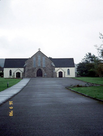 Catholic Church of the Sacred Heartchurch/chapel · 1.6 mi
 Statue of Our LadyHeritage attraction · 1.9 mi
 Jerome ConnorMemorial · 1.9 mi
 Inch BeachVisitor information · 2.1 mi
 Bunaneer StrandBeach / strand · 2.3 mi
 Graveyard in BallynacourtyGraveyard · 2.5 mi
 EmlaghMountain / peak · 2.9 mi
 Glanteenassig Forest ParkForest · 3.0 mi