What is recorded here
Fairy fort in Ballynagoshen: an earthen ringfort on a low west-northwest slope in County Longford, marked “Fort” on the 1837 Ordnance Survey map but no longer visible at ground level. A road now cuts across its south-southwest edge. The fort may have been a boundary marker, a shelter, or a child’s idea of greatness; the earth has taken back its shape.
On a WNW-facing slope on low-lying ground. Depicted as a roughly circular enclosure with the designation 'Fort' on the 1837 ed. of the OS 6-inch map. It is clipped at SSW by a WNS-ESE running roadway. Not visible at ground level.
Compiled by: Patrick F. O'Donovan
Date of upload: 23 November 2011
The monument record does not grant public access. Check the route and ask the landowner before entering private land.
- What survives
- Recorded monument
Places near here
 BarrowBarrow, unclassified · 353 yd
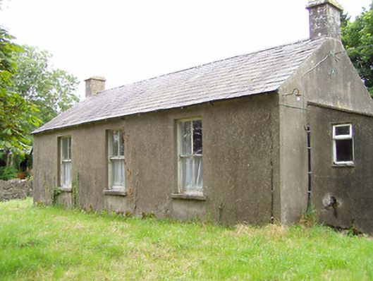 Corboy National Schoolschool · 739 yd
 The Mansemanse · 776 yd
 Enclosure in LisnanaghEnclosure · 1.1 mi
 Oldtown DemesneForest · 1.1 mi
 Oldtown CopseWood · 1.2 mi
 Bawn in LissardowlanBawn · 1.7 mi
 CastleCastle, Anglo-Norman masonry castle · 1.7 mi
 National Famine WayWalking route · 4.9 mi
 Bully's Acregraveyard/cemetery, unknown · 4.9 mi
 Saint Mel's CathedralCathedral · 5.0 mi
 First World War MemorialMemorial · 5.1 mi