What is recorded here
Clooncraff Fort in Ballynagare is a circular earthen ringfort with a 25 to 28 metre diameter, nested inside a larger sub-circular enclosure still visible on the 1841-42 map. Its overgrown bank rises 1.6 metres above the interior, marking a place where people lived, worked or kept animals before fieldbanks cut through its southern and eastern edges. The name Cluain Creamh, meadow of the wild garlic, suggests the land once smelled of green pungency rather than dust. A quarry lies immediately north, reminding that the earth has been taken elsewhere even as the fort remains.
Internal diameter 25m N-S, 28m E-W
Clooncraff Fort/Cluain Creamh (meadow of the wild garlic). This circular univallate rath would appear to be situated in the centre of a large sub-circular enclosure (KE016-004----) which is clearly outlined on the 1841-42 OS map. This rath is cut to the S and NE by fieldbanks. The enclosing bank is fairly overgrown and is 5m wide. It rises to a maximum external height of 1.6m and 1.6m above the interior. A slight external fosse can be noted from the N to NE, where it is c 3m wide. Immediately to the N of this rath lies a quarry.
The above description is derived from C. Toal, ‘North Kerry Archaeological Survey’. Dingle. Brandon in association with FAS Training and Employment Authority (1995), no. 612. In certain instances the entries have been revised and updated in the light of recent research.
Date of upload: 2 August 2013
The monument record does not grant public access. Check the route and ask the landowner before entering private land.
- What survives
- Recorded monument
Places near here
 Ecclesiastical enclosure in BallynagareEcclesiastical enclosure · 16 yd
 Enclosure in Clogher (clanmaurice By., Lixnaw Ed)Enclosure · 434 yd
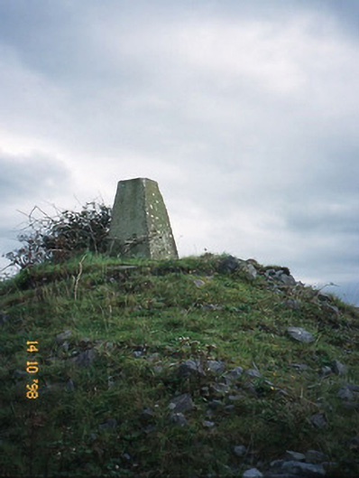 FitzMaurice Monumentmonument · 1003 yd
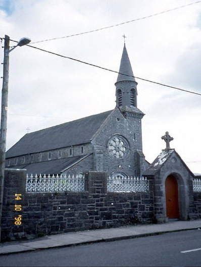 Saint Michael's Catholic Churchchurch/chapel · 1178 yd
 CastleCastle, Anglo-Norman masonry castle · 1.0 mi
 Kilflynn Nature ReserveNature reserve · 4.6 mi
 Ballymacaquinn Castle (remains of)Castle · 5.1 mi
 Lartigue MonorailMuseum · 5.8 mi
 Kerry Writers' MuseumMuseum · 5.8 mi
 Bryan MacMahonMemorial · 5.8 mi
 John B. Keane GroveMemorial · 5.9 mi
 Clashmealcon CavesCave · 6.1 mi