What is recorded here
Situated on a slight natural rise, surrounded by low lying land to SW & N, with good views from S-W-NW. The gently undulating grass-land which surrounds the site rises gently to the N, NE & E. St. Bigseach's Well (WM011-047----) 200m to NNE, mound barrow (WM011-046----) 30m to ENE and ringfort (WM011-048----) 275m to SE. The stream which marks the townland boundary with Kilbixy is 45m to NW. A small clustered settlement annotated as 'Clontane' on the 1837 ed. OS 6-inch map lies 180m to SW.
A natural rise that has been enhanced to produce an oval-shaped raised area (approx. diam. 44m N-S; 38m E-W) enclosed by a two substantial earthen banks and intervening fosse with a slight external fosse. The inner bank is visible from SE-S-W and is levelled elsewhere. The inner fosse has been filled in at WSW. The outer bank has been steepened from N-SE, and is almost completely levelled from E-ESE. Traces of cultivation ridges are visible running roughly E-W across the interior of the monument. A large stone is visible jutting through the surface of the ground near the centre of the interior, and two other flat stones lie on the surface nearby.
See attached profile of monument surveyed and drawn by the ASI.
Compiled by: Frank Coyne and Caimin O'Brien
Date of upload: 18 August 2017
The monument record does not grant public access. Check the route and ask the landowner before entering private land.
- What survives
- Recorded monument
Places near here
 St. Bicseaghs WellHoly well · 258 yd
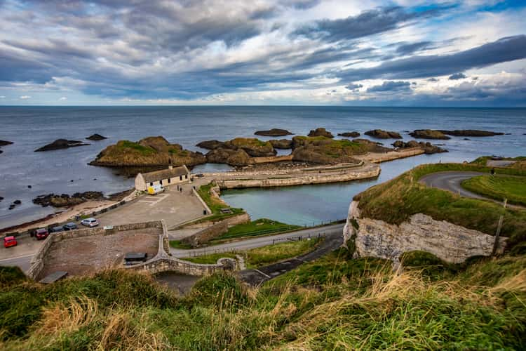 Partially indicatedFairy fort / earthen ringfort · 363 yd
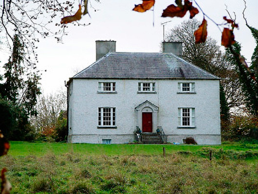 The Old Rectoryrectory/glebe/vicarage/curate's house · 438 yd
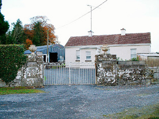 Baronstown Housedemesne walls/gates/railings · 565 yd
 Baronstown ForestWood · 613 yd
 Horse-chestnutHorse-chestnut · 797 yd
 Site of Castle, Castle FieldCastle, unclassified · 967 yd
 CastleCastle, motte and bailey · 1086 yd
 Newcastle WoodsForest · 8.9 mi
 Rock of CurryCliff · 12 mi
 Bridgets WellHoly well · 728 yd
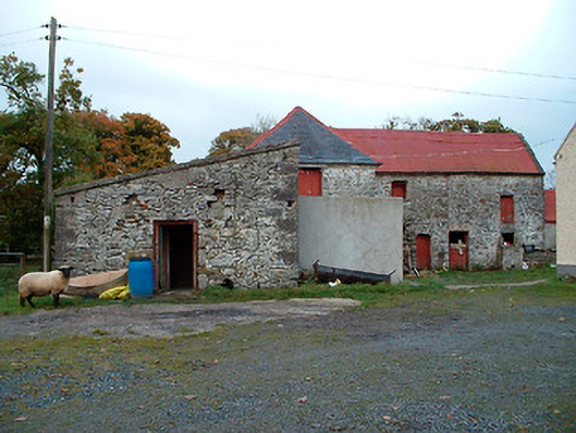 Caher Corn Millmill (water) · 743 yd