What is recorded here
Clearing the field to make a place for children, I cut through the broken southern bank and nearly lifted a whole ring of stone. I stopped when the child pointed at the waterhole hidden beneath the grass. We left the circle alone, and that is still the best decision I remember making in Ballynaboola.
In pasture, c. 300m to S of Garrane River. Circular area (29.8m N-S; 29.5m E-W) enclosed by two earthen banks with intervening fosse. Inner bank (int. H 0.35m) broken to S (Wth 3m). Intervening fosse mainly waterlogged. Outer bank (H 0.6m) broken to N (Wth 2.5m); berm on inner face of bank to S; incorporated into field fence system to SE and S; to W low and tree planted. Interior planted with trees.
The above description is derived from the published 'Archaeological Inventory of County Cork. Volume 4: North Cork' (Dublin: Stationery Office, 2000). In certain instances the entries have been revised and updated in the light of recent research.
Date of upload/revision: 14 January 2009
The monument record does not grant public access. Check the route and ask the landowner before entering private land.
- What survives
- Recorded monument
Places near here
 Cist in BallynaboolaCist · 119 yd
 Fulacht fia in Garrane (fermoy By.)Fulacht fia · 313 yd
 Glanmore Househouse · 514 yd
 Ardskeagh MoatCastle, motte · 1120 yd
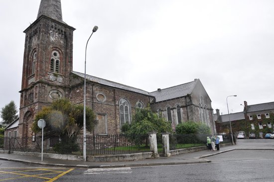 Ardskeagh Church (in Ruins)Church · 1493 yd
 BallinaboolaVisitor information · 1499 yd
 Castle Harrison on Site of Castle (19*Castle, unclassified · 1.2 mi
 CarrigeenMountain / peak · 1.5 mi
 Caher HillMountain / peak · 2.3 mi
 Holy Cross CemeteryGraveyard · 2.8 mi
 ToberSpring · 2.9 mi
 Lady's WellSpring · 3.0 mi