What is recorded here
Fairy forts are human remains, often misread as magical because they preserve shapes instead of facts. In Ballymurphy Lower a circular earthwork stood above a south-facing slope, large enough for a small dwelling or defensive hold. It has since disappeared under farming and time, leaving only a scattered stone trace and a vanished shadow on the land.
In tillage, on crest of hill, above S-facing slope. Shown on 1935 OS 6-inch map as hachured circular enclosure (diam. c. 40m), consisting of bank and external fosse. Levelled; spread of stones in area of site.
The above description is derived from the published 'Archaeological Inventory of County Cork. Volume 2: East and South Cork' (Dublin: Stationery Office, 1994). In certain instances the entries have been revised and updated in the light of recent research.
Date of upload/revision: 14 January 2009
The monument record does not grant public access. Check the route and ask the landowner before entering private land.
- What survives
- Recorded monument
Places near here
 Enclosure in Aghern EastEnclosure · 1398 yd
 Moated site in Ballybride UpperMoated site · 1445 yd
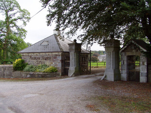 Aghern Housedemesne walls/gates/railings · 1726 yd
 Saint James' Churchhchurch/chapel · 1.1 mi
 Aghern CastleCastle · 1.1 mi
 Aghern CemeteryWood · 1.4 mi
 Castle (in Ruins)Castle, tower house · 1.7 mi
 Natural heritage of CoolagowanVisitor information · 2.3 mi
 Castlebrook forestWood · 2.3 mi
 Life Space ParkPicnic place · 2.3 mi
 Graveyard in Curraheen (kinnatalloon By.)Graveyard · 2.8 mi
 Pope's WellSpring · 3.9 mi