What is recorded here
Fairy fort / earthen ringfort in Ballymorris (Killardry parish) is a fairy fort or earthen ringfort in Ballymorris (Killardry parish), County Tipperary, Ireland. It occupies a 40m circular area on a gentle south-facing slope near the River Aherlow, enclosed by a substantial earthen bank with a 6.4m base and 1.23m external height. A slight external ditch is present, while the grass-covered interior slopes slightly to the southeast.
On a gentle S-facing slope with the River Aherlow c. 60m to the SW, in pasture in low-lying flat river valley. Adjacent ringfort (TS075-008----), 80m to the ESE, is visible through the hedgerow. Circular area (diam. 40m N-S and E-W) enclosed by a substantial earthen bank (Wth 1.6m crest, 6.4m base; int. H 1.05m; ext. H 1.23m) and slight indication of an external fosse (Wth 2.3m; D 0.16m). The grass-covered interior slopes slightly to the SE. There is some scrub and nettles on the bank which is denuded in the NE and SE sectors. In the W quadrant a small area has been quarried immediately outside the bank.
Compiled by: Jean Farrelly
Date of upload: 31 March 2014
The monument record does not grant public access. Check the route and ask the landowner before entering private land.
- What survives
- Recorded monument
Places near here
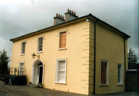 Toureen Househouse · 438 yd
 Kilmoyler Housegate lodge · 452 yd
 Enclosure in ToureenEnclosure · 923 yd
 Caucasian zelkovaCaucasian zelkova · 951 yd
 Enclosure in Ballymorris (killardry Par.)Enclosure · 998 yd
 Castle in ruins)Castle, unclassified · 1671 yd
 Cappa WoodWood · 1.2 mi
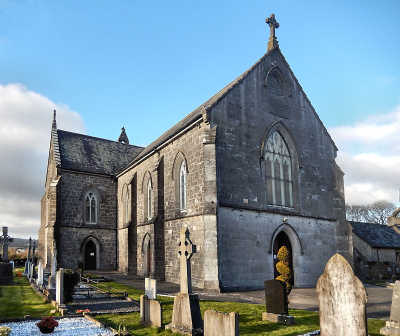 RathwealCastle, ringwork · 1.6 mi
 Slieveanard NE TopMountain / peak · 2.0 mi
 SlieveanardMountain / peak · 2.5 mi
 Caher AbbeyHeritage attraction · 3.6 mi
 Siege of Cahir Castlesiege · 3.8 mi