What is recorded here
Fairy forts are earthen ringforts people stopped using after stone walls took over. In Ballymacorcoran the bank is low and the entry faces west, while cultivation ridges still cross the middle. That suggests the field was worked long after the fort stopped being a fortress. The fairies enter the story only because the human purpose faded from memory.
In pasture, on break in gentle SW-facing slope, E of Foherish River. Circular slightly raised area (36m E-W; 34m N-S) enclosed by earthen bank (int. H 0.5m; ext. H 0.9m) with shallow external fosse to N. Break in bank to WSW. Cultivation ridges cross interior on E-W axis.
The above description is derived from the published 'Archaeological Inventory of County Cork. Volume 3: Mid Cork' (Dublin: Stationery Office, 1997). In certain instances the entries have been revised and updated in the light of recent research.
Date of upload/revision: 14 January 2009
The monument record does not grant public access. Check the route and ask the landowner before entering private land.
- What survives
- Recorded monument
Places near here
 sign postsign post · 760 yd
 Garranenagappul Bridgebridge · 781 yd
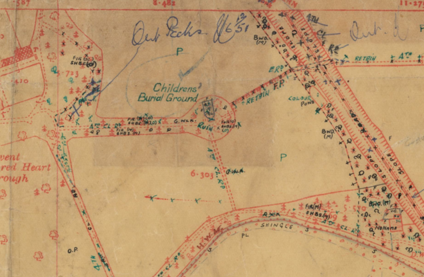 Childrens Burial Ground (Disused)Burial ground · 940 yd
 Man-made underground passageMan-made underground passage · 1152 yd
 Neill's WoodWood · 2.1 mi
 Carrigaphooca CastleCastle · 2.1 mi
 Curraheen WoodWood · 2.5 mi
 Dundareirke Castle (in Ruins)Castle, tower house · 3.1 mi
 Clonavrick CliffCliff · 3.2 mi
 Macroom WalksVisitor information · 3.4 mi
 Battle of Macroombattle · 3.6 mi
 Cnoc na nUlán (mullach thoir)Mountain / peak · 4.0 mi