What is recorded here
Thirty-two metres of packed earth still mark the circle in Ballymacorcoran, though conifers now choke the ridge and the northern gap stares open like a forgotten door. The western interior rises slightly, balancing the tilted slope with human patience rather than surveying tools. Whatever lived inside has vanished, but the bank remains firm enough to suggest urgency, pride or repeated repair. The fairies may have taken the meaning; they left the shape behind.
In pasture, on break in W-facing slope. Circular area (32m N-S; 32m E-W) defined by earthen bank (int. H 0.8m; ext. H 2.4m), planted with coniferous trees. Break in bank to N. Interior raised on W side to compensate for hillslope. Surrounding field fences removed.
The above description is derived from the published 'Archaeological Inventory of County Cork. Volume 3: Mid Cork' (Dublin: Stationery Office, 1997). In certain instances the entries have been revised and updated in the light of recent research.
Date of upload/revision: 14 January 2009
The monument record does not grant public access. Check the route and ask the landowner before entering private land.
- What survives
- Recorded monument
Places near here
 sign postsign post · 880 yd
 Garranenagappul Bridgebridge · 912 yd
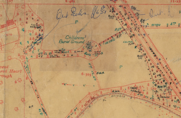 Childrens Burial Ground (Disused)Burial ground · 931 yd
 Man-made underground passageMan-made underground passage · 1034 yd
 Neill's WoodWood · 2.1 mi
 Carrigaphooca CastleCastle · 2.2 mi
 Curraheen WoodWood · 2.6 mi
 Dundareirke Castle (in Ruins)Castle, tower house · 3.2 mi
 Clonavrick CliffCliff · 3.2 mi
 Macroom WalksVisitor information · 3.4 mi
 Battle of Macroombattle · 3.7 mi
 Cnoc na nUlán (mullach thoir)Mountain / peak · 4.0 mi