What is recorded here
Jean Charles Caillére first identified the earthen ring in Ballymacoll Little, where a thirty-five metre circle still holds its shape on a low height. A five metre gap faces east-southeast, inviting entry into a space now half-hidden beneath a field bank and townland boundary. The fairies may have built it, but humans certainly lived there, marking the soil with a ditch wide enough to keep out rain and curious neighbours.
Situated on a local height in a fairly level landscape. The cropmark of a circular enclosure diam. c. 35m) defined by a single fosse feature (Wth c. 2m) is visible on OSI aerial images (1995) and on Google Earth (24/06/2019). It is overlain by a N-S field bank and townland boundary with Caulstown to the W and c. a third of the monument is not visible in Caulstown. There is an entrance gap (Wth c. 5m) in the fosse at ESE. It is probably a rath and was first reported by Jean Charles Caillére.
Compiled by: Michael Moore
Date of upload: 2 April, 2019
The monument record does not grant public access. Check the route and ask the landowner before entering private land.
- What survives
- Recorded monument
Places near here
 Caulstown Christmas Tree FarmForest · 859 yd
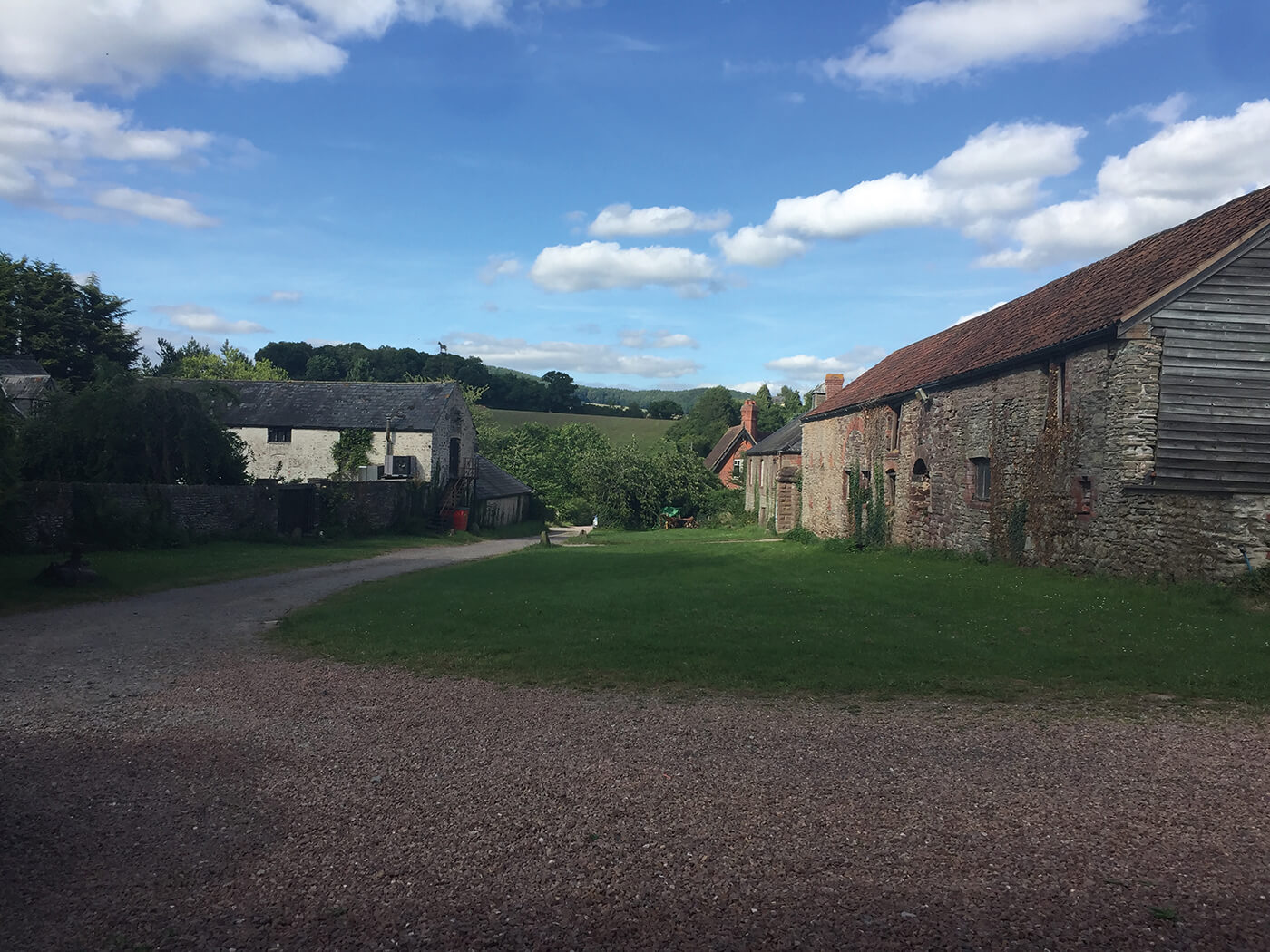 Enclosure in NuttstownEnclosure · 1279 yd
 Enclosure in Piercetown (dunboyne By.)Enclosure · 1.2 mi
 Wesley's WoodsWood · 1.6 mi
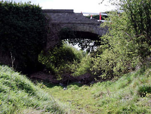 bridgebridge · 1.9 mi
 Kilbride MoatCastle, motte · 2.1 mi
 Church (in Ruins)Church · 2.3 mi
 Site of Old CastleCastle, unclassified · 3.2 mi
 AshbourneMemorial · 3.8 mi
 Graveyard in BuzzardstownGraveyard · 3.9 mi
 Hanwood GardensHeritage attraction · 4.2 mi
 Ash HillMountain / peak · 4.7 mi