What is recorded here
Fairy forts in Ballymacdonnell hide as much as they reveal: a thin ring of earth and stone, barely half a metre high, circling grass that may have covered chambers, hut floors or a passage cut into shallow limestone. People walked this slope before records, perhaps building rooms around rock that resisted digging, then leaving the ring open to sky and rain. What is certain is shape and endurance; what is charming is the chance that fairness, people and stone all shared the same small circle.
The location of this monument was incorrectly marked on the RMP for Co. Kerry (issued 1998). The correct location was identified by Laurence Dunne (pers. comm. 16 February 2015). The monument is situated in pasture that slopes gently to the E. It consists of the much degraded remains of a ringfort (external dims. 43m E-W by 41m N-S; internal dims. 26m E-W by 21m N-S) which are visible as a grass-covered earthen and stone bank reaching a max. height of 0.5m at the E or downslope side. There is no evidence of an external fosse. A number of bumps, hollows and other undulations most likely reflect the incomplete clearance of the monument sometime shortly before 1945 when an account of a visit was included in the minute book of the County Kerry Field Club for that year (Vol. 1, 31st March 1945, pp. 580-2). The report makes reference to four chambers which could be interpreted as either hut-sites or a Man-made underground passage or both (KE039-126001-). Given that the limestone bedrock is close to the surface the possibility that the monument might have been a cashel cannot be discounted. (Dunne 2015)
The attached image (KE039-126----_01.jpg), a view of the remains from the west, was taken on 6 February 2015, and is uploaded courtesy of Laurence Dunne.
Compiled by: Paul Walsh based on details kindly provided by Laurence Dunne (16 February 2015)
Date of upload: 17 February 2015
The monument record does not grant public access. Check the route and ask the landowner before entering private land.
- What survives
- Recorded monument
Places near here
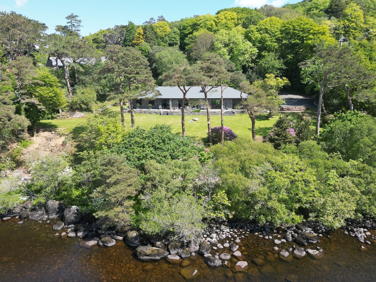 Enclosure in Cliddaun (trughanacmy By.)Enclosure · 745 yd
 Fulacht fia in BallymacdonnellFulacht fia · 893 yd
 KillChurch · 1632 yd
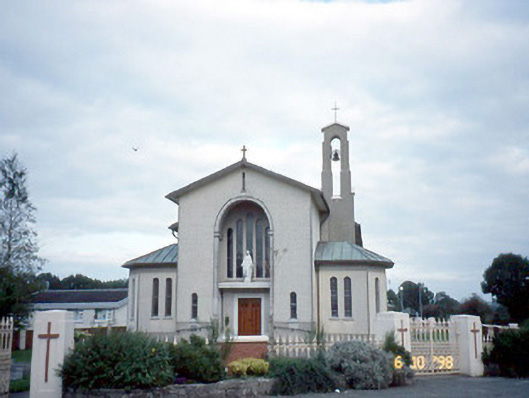 Catholic Church of the Immaculate Conceptionchurch/chapel · 1.6 mi
 Site of Currans CastleCastle, unclassified · 1.7 mi
 Castle (in ruins)Castle, Anglo-Norman masonry castle · 2.7 mi
 Crag CaveCave · 4.2 mi
 PoulatouirtCave · 6.0 mi
 Common AlderCommon Alder · 6.3 mi
 Ballygamboon Forest Recreation AreaWood · 6.7 mi
 Scotia's GraveArchaeological place · 8.1 mi
 Stack's MountainMountain / peak · 8.4 mi