What is recorded here
On the S-facing slope of a ridge in undulating terrain, under grass. The monument appears to have been located on a natural hillock on this ridge. Though the monument has been levelled to some extent, the outline is still visible as a raised (H 1m), circular area (diam. 50m). A field bank, with stone revettment, runs along the top edge of the N quadrant. The interior slopes to E where there is a reduction in the height of the scarp, possibly flatten by tractor access. There is evidence of former feeding trough in the NE quadrant of the interior.
Compiled by: Jean Farrelly
Date of upload: 07 January 2013
This monument is subject to a preservation order made under the National Monuments Acts 1930 to 2014 (PO no. 208/1955).
The monument record does not grant public access. Check the route and ask the landowner before entering private land.
- What survives
- Recorded monument
Places near here
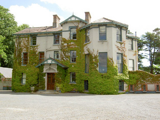 Duneske Housecountry house · 1295 yd
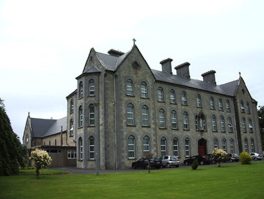 Cahir Convent of Mercyconvent/nunnery · 1347 yd
 Castle (in ruins)Castle, unclassified · 1474 yd
 Cahir CastleHeritage attraction · 1.1 mi
 Enclosure in LissakyleEnclosure · 1.2 mi
 Ladys WellHoly well · 1.2 miSiege of Cahir Castlesiege · 1.2 mi
 Loughlohery Beating ChurchCastle · 1.2 mi
 European YewEuropean Yew · 1.2 mi
 Caher AbbeyHeritage attraction · 1.3 mi
 Cottagehill WoodForest · 1.3 mi
 Woodcock HillMountain / peak · 3.0 mi