What is recorded here
Fairy forts are earthen rings people misread because they refused to ask what the ring was built to do. In Ballylin East the fort stands on a rise beside another rath, with a square stone structure inside its western half. That is not a fairy claim. That is a made place, likely for living, keeping, marking ownership or excluding others. The fairy label appears when human purpose is forgotten.
On a rise in undulating cleared pastureland. Classified by McCaffrey (1952, 213) as a densely overgrown 'earthen fort(?)' (diam. c. 30m), lying 'within 70 ft' (c. 21m) of the site of another possible rath (GA104-029001-). There was a 'square stone structure' (GA104-029004-) in the W half of the interior. Not located.
Compiled by: Galway Archaeological Survey, UCG
Date of upload: 22 December 2016
The monument record does not grant public access. Check the route and ask the landowner before entering private land.
- What survives
- Recorded monument
Places near here
 Dermot & Grania's BedArchaeological place · 456 yd
 CarnanthomasCastle, unclassified · 1035 yd
 Ballymanagh Ho.House, 18th/19th century · 1128 yd
 Enclosure in ColesgroveEnclosure · 1144 yd
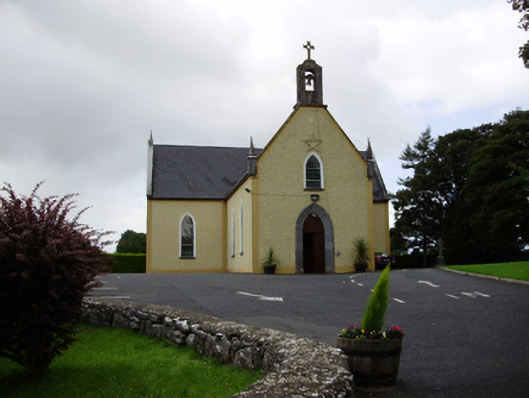 Saint Killian's Catholic Churchchurch/chapel · 1177 yd
 Roo Castle (in ruins)Castle, tower house · 1.3 mi
 Moyard WoodWood · 3.9 mi
 Blake's IslandIslet · 4.7 mi
 Ash IslandIslet · 5.1 mi
 Kilcornan ForestWood · 6.7 mi
 Drumacoo Monastic SiteHeritage attraction · 8.4 mi
 KnocknarebanaMountain / peak · 9.6 mi