What is recorded here
No visible surface trace survives in Ballylin East, yet a circular earthen bank once measured forty-eight metres across and an underground passage still lies hidden beneath the scrubland. The fort has vanished from sight but not from the earth, waiting for someone patient enough to listen for the shape beneath the soil.
In scrubland. Classified by McCaffrey (1952, 212-13, no. 43) as a circular 'Earthen fort' (diam. c. 48m) defined by a poorly preserved bank. No visible surface trace survives. A Man-made underground passage (GA104-029002-) is associated.
Compiled by: Galway Archaeological Survey, UCG
Date of upload: 22 December 2016
The monument record does not grant public access. Check the route and ask the landowner before entering private land.
- What survives
- Recorded monument
Places near here
 Dermot & Grania's BedArchaeological place · 620 yd
 CarnanthomasCastle, unclassified · 906 yd
 Enclosure in ColesgroveEnclosure · 980 yd
 Ballymanagh Ho.House, 18th/19th century · 1116 yd
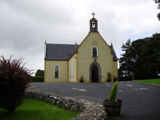 Saint Killian's Catholic Churchchurch/chapel · 1192 yd
 Roo Castle (in ruins)Castle, tower house · 1.2 mi
 Moyard WoodWood · 3.9 mi
 Blake's IslandIslet · 4.8 mi
 Ash IslandIslet · 5.2 mi
 Kilcornan ForestWood · 6.7 mi
 Drumacoo Monastic SiteHeritage attraction · 8.4 mi
 KnocknarebanaMountain / peak · 9.7 mi