What is recorded here
In pasture, on the end of a low ridge with good views of the surrounding countryside. Ballykilmore Lough 100m to the SW and Daly's Lough 80m to the E. Ringfort (WM039-002----) 150m to SSW. Circular-shaped area (diam. 28.5m N-S; 27m E-W) defined by a poorly preserved earth and stone bank which is only visible at E, elsewhere has been reduced to a scarp. No entrance feature visible. The interior of the ringfort is uneven. A small quarry has defaced the W edge of the monument. A 19th century field boundary running N-S intersects the E edge of the ringfort which has caused defacement of the bank on this side. This N-S field boundary is not indicated on the 1837 ed. OS 6-inch map.
Compiled by: Caimin O’Brien
Date of upload: 02 August 2013
The monument record does not grant public access. Check the route and ask the landowner before entering private land.
- What survives
- Recorded monument
Places near here
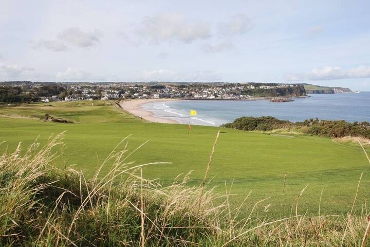 OutlinedFairy fort / earthen ringfort · 224 yd
 Swiss Cottagehouse · 560 yd
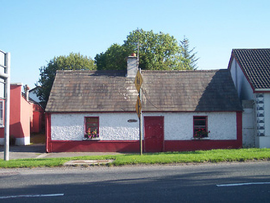 The Keephouse · 584 yd
 Partially hachuredFairy fort / earthen ringfort · 849 yd
 Tyrrellspass CastleCastle, tower house · 1131 yd
 CastleCastle, hall-house · 1.1 mi
 Ardan WoodWood · 3.6 mi
 Cruil HillMountain / peak · 3.8 mi
 Lackan HillMountain / peak · 4.0 mi
 Saint Clavin's WellSpring · 4.4 mi
 Croghan HillMountain / peak · 4.6 mi
 Finnrenashark Holy WellSpring · 4.7 mi