What is recorded here
Lismarve, the ringfort of the dead, still holds its V-shaped line in Ballyhorgan South. An earthen bank, wide enough to walk and high enough to mark a boundary, curves around a space large enough for a household or a hundred forgotten rituals. The fieldbank has cut through one side, proving that living land keeps taking back what it wants.
Internal diameter 31m NW-SE, 27m NE-SW
Lismarve/Lios na Marbh (ringfort of the dead). Situated to the SE of KE016-020----, this circular enclosure is marked on the 1841-42 OS map. Today it appears as an irregularly shaped enclosure which is cut on the N-E side by a fieldbank. It is basically a V-shaped area, enclosed by an earthen bank 3m-5m wide, rising to 1.5m high externally and .8m-1.2m internally. A slight exterior fosse can be noted N-W, where it is .6m wide and .5m deep.
The above description is derived from C. Toal, ‘North Kerry Archaeological Survey’. Dingle. Brandon in association with FAS Training and Employment Authority (1995), no. 609. In certain instances the entries have been revised and updated in the light of recent research.
Date of upload: 2 August 2013
The monument record does not grant public access. Check the route and ask the landowner before entering private land.
- What survives
- Recorded monument
Places near here
 Enclosure in Ballyhorgan SouthEnclosure · 250 yd
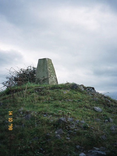 FitzMaurice Monumentmonument · 1.2 mi
 Enclosure in Clogher (clanmaurice By., Lixnaw Ed)Enclosure · 1.6 mi
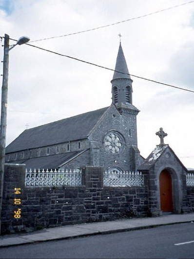 Saint Michael's Catholic Churchchurch/chapel · 1.6 mi
 CastleCastle, Anglo-Norman masonry castle · 2.1 mi
 Kilflynn Nature ReserveNature reserve · 4.6 mi
 Listowel Castle (in ruins)Castle, tower house · 4.6 mi
 Kerry Writers' MuseumMuseum · 4.6 mi
 Bryan MacMahonMemorial · 4.6 mi
 Lartigue MonorailMuseum · 4.7 mi
 John B. Keane GroveMemorial · 4.7 mi
 Stack's MountainMountain / peak · 6.1 mi