What is recorded here
No visible fort exists in Ballyhooly South, only a hidden arc of ditch and a curved fence that may mark its ancient bank. The land holds a ghost shape, waiting for rain or rope to reveal what humanity forgot.
Cropmark of arc of fosse (NW->SW) of circular enclosure (diam. c. 40m) visible in aerial photograph (CASAP, July 1989); curved field fence (SW->NW) may incorporate bank of enclosure. Possible ringfort (CO027-17602-) c. 20m to N, circular enclosure (CO027-17603-) c. 50m to NNE and enclosure (CO027-17604-) c. 80m to NE in same field.
The above description is derived from the published 'Archaeological Inventory of County Cork. Volume 4: North Cork' (Dublin: Stationery Office, 2000). In certain instances the entries have been revised and updated in the light of recent research.
Date of upload/revision: 14 January 2009
The monument record does not grant public access. Check the route and ask the landowner before entering private land.
- What survives
- Recorded monument
Places near here
 Enclosure in Ballyhooly SouthEnclosure · 110 yd
 Ring-ditch in Ballyhooly SouthRing-ditch · 246 yd
 railway stationrailway station · 1.1 mi
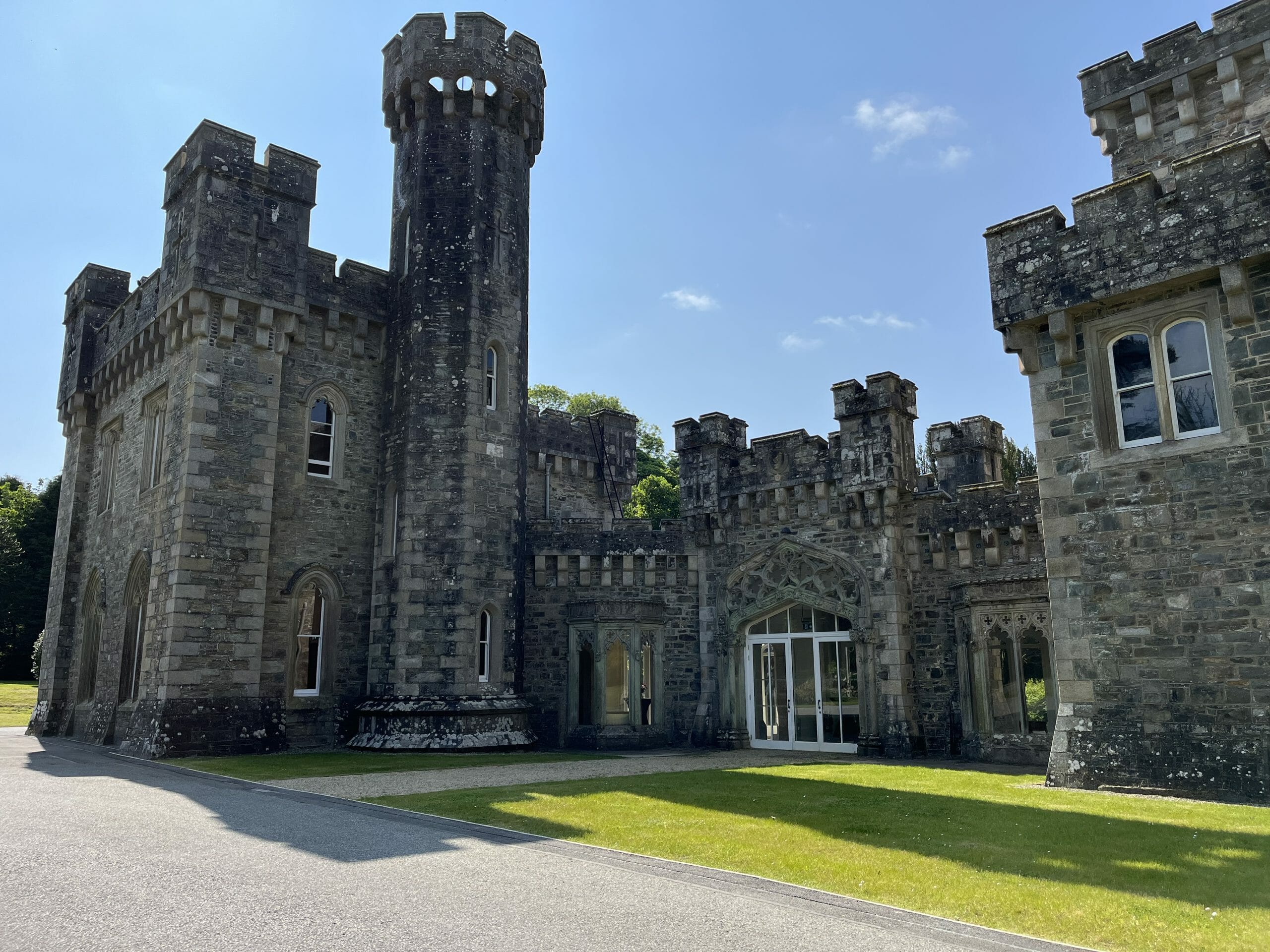 CastleCastle, unclassified · 1.2 mi
 Quarry in Commons (fermoy By., Litter Par.)Quarry · 1.4 mi
 Ballyhooly CastleCastle · 1.7 mi
 Blackwater (Avondhu) WayWalking route · 1.9 mi
 Graveyard in BoherashGraveyard · 2.0 mi
 St Dominick's WellSpring · 2.1 mi
 Johnson's WoodForest · 2.3 mi
 Priest's WoodForest · 2.4 mi
 Anne's Grove GardensHeritage attraction · 4.0 mi