What is recorded here
Fairy forts are no longer believed to be the dwelling place of fairies. They are ancient farmsteads, usually from the Iron Age, when people first cleared the wild land and built small defended homes. The name changed later, when belief in fairy mounds became common.
In tillage. Depicted as hachured circular enclosure (diam. c. 25m) on 1842 OS 6-inch map. Levelled; no visible surface trace of site. Circular enclosure, truncated on E side by farm trackway, is visible as cropmark in aerial photograph (GSIAP, R520).
The above description is derived from the published 'Archaeological Inventory of County Cork. Volume 4: North Cork' (Dublin: Stationery Office, 2000). In certain instances the entries have been revised and updated in the light of recent research.
Date of upload/revision: 14 January 2009
The monument record does not grant public access. Check the route and ask the landowner before entering private land.
- What survives
- Recorded monument
Places near here
 Enclosure in Ballyhooly SouthEnclosure · 711 yd
 Enclosure in Ballyhooly NorthEnclosure · 728 yd
 railway stationrailway station · 1662 yd
 bridgebridge · 1687 yd
 Ballyhooly CastleCastle · 1.6 mi
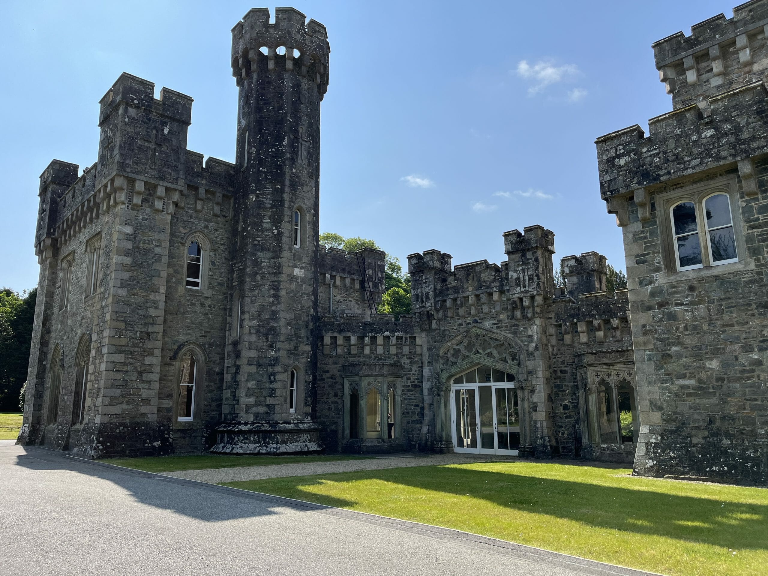 CastleCastle, unclassified · 1.6 mi
 Blackwater (Avondhu) WayWalking route · 1.6 mi
 Johnson's WoodForest · 2.1 mi
 Priest's WoodForest · 2.1 mi
 Graveyard in BoherashGraveyard · 2.3 mi
 St Dominick's WellSpring · 2.4 mi
 Anne's Grove GardensHeritage attraction · 3.7 mi