What is recorded here
Fairy forts are human places misnamed because the unusual shape and hidden age still suggest more than ordinary farm use. In Ballyhimikin, County Cork, a round earthwork about 25 metres across stood on a south-facing slope before ploughing and fences cut through it. The southern half has largely vanished, leaving only a low stony rise beside the fence. What remains is enough to imagine: a small defended or ceremonial place, built by people whose names are lost, then forgotten by fields until mapmakers drew what the land still remembered.
On S-facing slope. Shown on 1842 OS 6-inch map as circular enclosure (diam. c. 25m). Shown as semicirculr area with S half removed on 1902 OS 6-inch map. Levelled; site bisected by field fence; low stony rise visible to S of fence.
The above description is derived from the published 'Archaeological Inventory of County Cork. Volume 2: East and South Cork' (Dublin: Stationery Office, 1994). In certain instances the entries have been revised and updated in the light of recent research.
Date of upload/revision: 14 January 2009
The monument record does not grant public access. Check the route and ask the landowner before entering private land.
- What survives
- Recorded monument
Places near here
 Kimoithcountry house · 892 yd
 Fulacht fia in RooskaghFulacht fia · 1093 yd
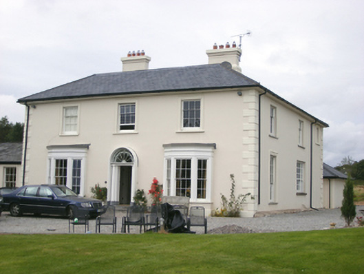 Shanagarry Housecountry house · 1337 yd
 Garryvoe Castle (in Ruins)Castle, tower house · 1.0 mi
 Grave YardGraveyard · 1.1 mi
 Garryvoe BeachBeach / strand · 1.2 mi
 CastleCastle, tower house · 2.2 mi
 Mary StandfordMemorial · 2.7 mi
 P.N.L.B. Mary StandfordWreck · 2.7 mi
 Ballycotton Island (Small)Islet · 2.8 mi
 Ballycotton IslandIslet · 3.1 mi
 Mitchell's WoodWood · 3.2 mi