What is recorded here
Situated on a NE-facing slope in undulating pastureland. Depicted on the 1st ed. OS 6-inch map as a slightly oval site with a pathway skirting the exterior of the SW quadrant. On the latest ed. the site is depicted as a circular enclosure with field boundaries close to NE, SE and SW quadrants. The site is in poor condition with its earth and stone bank much reduced, except in the SE quadrant where the inner bank (Wth 4.8m; int. H 0.63m; ext. H 1.9m), external U-shaped fosse (Wth 7.6m; D 1.55m) and outer bank (Wth 4.7m; ext. H 1.95) survive intact. Elsewhere only the denuded inner bank remains with a hedgerow growing on top. There is a large mound of dumped material on the inner bank in the SE quadrant. The interior is used as a cattle shelter with a feeding trough in the centre and as a result is badly poached.
The above description is derived from 'The Archaeological Inventory of County Tipperary. Vol. 1 - North Tipperary' compiled by Jean Farrelly and Caimin O'Brien (Dublin: Stationery Office, 2002). In certain instances the entries have been revised and updated in the light of recent research.
Date of upload/revision: 22 September 2008
The monument record does not grant public access. Check the route and ask the landowner before entering private land.
- What survives
- Recorded monument
Places near here
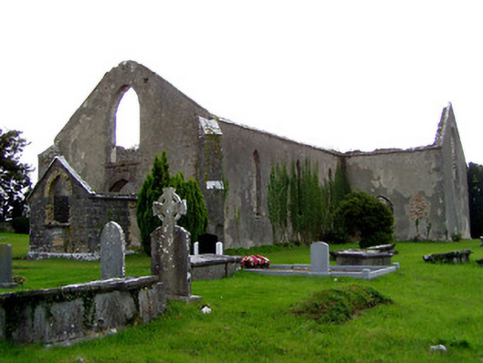 Garraun Catholic Chapelchurch/chapel · 556 yd
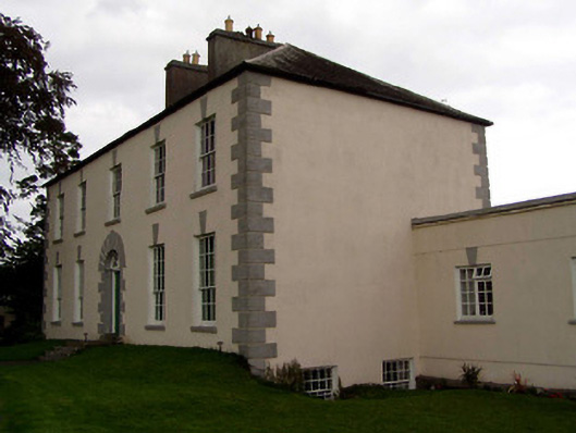 Coolnamunna Housecountry house · 774 yd
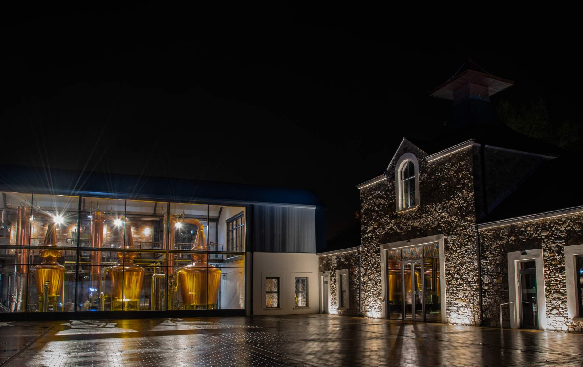 DistilleryArchaeological place · 1022 yd
 Enclosure in OxparkEnclosure · 1512 yd
 MacDonagh HouseMemorial · 1535 yd
 Thomas MacDonagh Heritage CentreMuseum · 1553 yd
 Castle in ruinsCastle, unclassified · 1742 yd
 CastleCastle, tower house · 1.2 mi
 Knockanacree WoodForest · 1.5 mi
 Ballycapple WoodForest · 1.8 mi
 James Devaney MemorialMemorial · 4.3 mi
 Gibbet HillMountain / peak · 8.3 mi