What is recorded here
Fairy fort / earthen ringfort in Ballygrennan (coshma By., Bruff Ed) is a vanished Irish ringfort. It disappeared between map editions, yet aerial photographs and satellite images still trace its circular shadow. The earth forgot the shape before people stopped drawing it.
In pasture 25m E of R512. Enclosure (LI040-002----) lies to immediate S. Depicted on the 1840 ed. OSi 6-inch map as a raised circular-shaped area (diam. 39m). Not indicated on 1897 ed. OSi 25-inch map which suggests that the earthwork was levelled between these map dates. Identified as a circular-shaped platform during examination of aerial photographs (BGE 1/5000 2544 Site No 040075) taken 03/11/1984 on the Bórd Gáis Éireann gas pipeline. No surface remains visible on OSi orthophoto taken between 2005-12. Faint outline of levelled earthwork visible on Google Earth orthoimage dated 20/09/2020.
See attached aerial photograph from Bórd Gáis Éireann gas pipeline (Site No. 040075) and Google Earth orthoimages.
Compiled by: Martin Fitzpatrick
Date of upload: 13 May 2021
The monument record does not grant public access. Check the route and ask the landowner before entering private land.
- What survives
- Recorded monument
Places near here
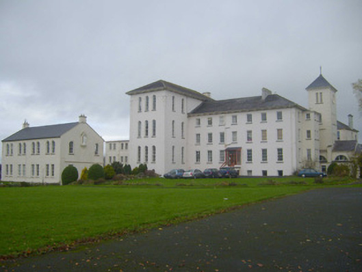 Saint Mary's Conventconvent/nunnery · 514 yd
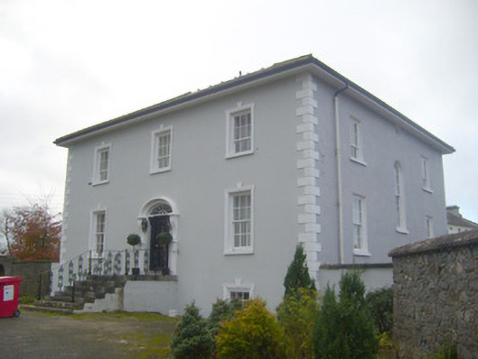 presbytery/parochial/curate's housepresbytery/parochial/curate's house · 540 yd
 Enclosure in BallinleeEnclosure · 671 yd
 Field system in Ballygrennan (coshma By., Bruff Ed)Field system · 687 yd
 Castle (in ruins)Castle, unclassified · 707 yd
 Ballygrennan Castle (in ruins)Castle, tower house · 919 yd
 Glen BogForest · 2.5 mi
 KnockainyMountain / peak · 3.2 mi
 Flat cemetery in Knockainy WestFlat cemetery · 4.0 mi
 Monasteranenagh AbbeyHeritage attraction · 5.8 mi
 St Patrick's WellSpring · 6.7 mi
 European ashEuropean ash · 6.9 mi