What is recorded here
Magic is not the story here. The measurements leave no room for fantasy. A circular area thirty-nine metres wide, enclosed by a low bank four metres thick, rises sixteen decimetres externally on steep stoney faces. Outside runs a fosse two to two and a half metres wide and half a metre deep. Several interior hollows hold concentrated reeds. The east-southeast gap, four metres broad, may be the original entrance later widened. A quarry sits immediately outside to the northeast. The ridge stands between two valleys with clear views in every direction.
In flat grassland on a ridge between to valleys. There are good views in all directions. A circular area (diam. 39m) enclosed by low, wide bank (Wth 4m; int. H c. 0.6m; ext. H c. 1.6m) with steep stoney faces and external fosse (Wth 2-2.5m; D 0.5-0.6m). There are several hollows in the interior where there is a concentration of reeds growing. There is an entrance (Wth 4m) at the ESE which may be original and subsequently widened. There is a quarry immediately outside to the NE.
Compiled by: Jean Farrelly
Date of upload: 29 January 2018
The monument record does not grant public access. Check the route and ask the landowner before entering private land.
- What survives
- Recorded monument
Places near here
 Ballygowney RingfortArchaeological place · 2 yd
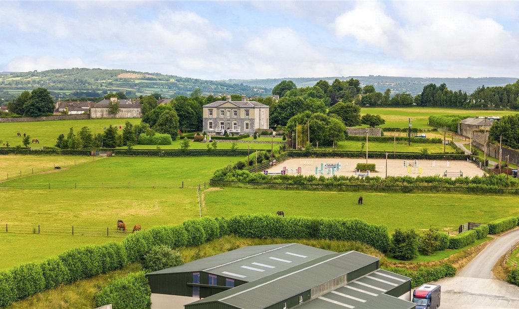 Enclosure in BallygowneyEnclosure · 1047 yd
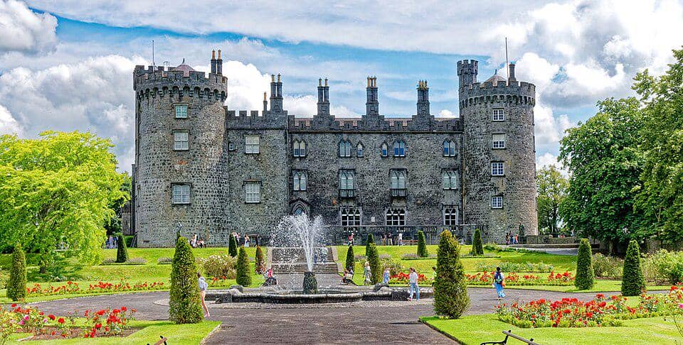 CastleCastle, unclassified · 1151 yd
 Church (in ruins)Church · 1233 yd
 Saint Muntchan's Catholic Churchchurch/chapel · 1.1 mi
 Balleen Castle (ruins)Castle · 1.9 mi
 Street fieldArchaeological place · 2.6 mi
 Clomantagh HillMountain / peak · 3.5 mi
 The CopseWood · 4.4 mi
 DelaneyMemorial · 4.7 mi
 John HelyMemorial · 4.7 mi
 Anker's IslandIsland · 4.7 mi