What is recorded here
Ballygorteen hides a thirty-metre rath beneath the soil, marking the ridge edge where sight reaches far into both valleys. The earth swallowed the fort, yet the shape still writes itself across the ground when light strikes the land. People may have stood there watching the valleys breathe, knowing the ridge would keep their shadow long after stone and timber disappeared.
Listed in the RMP (1996) as Ballygorteen linear feature. On the E edge of a flat narrow ridge between two N-S valleys with good views in all directions. Known locally as the site of a ‘rath’. Visible on OS Ortho 2005 image as a circular cropmark (diam. c. 30m). Monument not visible at ground level.
Compiled by: Jean Farrelly
Date of upload: 10 April 2017
The monument record does not grant public access. Check the route and ask the landowner before entering private land.
- What survives
- Recorded monument
Places near here
 Enclosure in CoorleaghEnclosure · 1140 yd
 IndicatedGraveyard · 1707 yd
 Saint Scuithin's Catholic Churchchurch/chapel · 1.3 mi
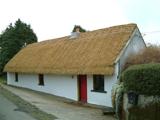 Maherhouse · 1.5 mi
 Freneystown CastleCastle, tower house · 1.8 mi
 The Green GardenWood · 2.3 mi
 Moonhall Castle (ruins)Castle · 3.2 mi
 St. Mogarra’s WellSpring · 3.4 mi
 Church (in ruins), GraveyardChurch · 3.6 mi
 HawthornHawthorn · 3.7 mi
 Lock Keeper's House and Lodge MillsVisitor information · 4.6 mi
 Church, GraveyardChurch · 4.7 mi