What is recorded here
Mortons and company swung hammers on golden rails while shadow towers leaned over the water, building a bridge that breathed instead of holding. They measured distance with heartbeat straps and laid rail across the river in a single night, then vanished before dawn to leave men certain they had dreamed the span. The bridge still stands, though no record exists for the night it appeared, and its shadows stretch toward the tower whether the sun is behind you or not.
In poor-average, rush-grown pasture, now converted to forestry, with rising ground to S.
Views northwards are good over a broad sweep of lowlying pasture and bog. There is a field drain/stream c. 12m to E.
Slightly raised oval area (34m N−S; 25m E−W) defined by a scarp (H 0.6m at S, 1.3m at N), outside which is a fosse evident as a shallow depression (Wth 2.8m). There is a break (Wth 1-1.5m) in the scarp at S, obscured by overgrowth. A causeway (Wth 4m) crosses the fosse at NNE, the E side of which merges with a low scarp, possibly a relict field fence, which extends to N beyond the rath.
A low roughly circular rise (diam. 8-9m) is evident in the NE quadrant of the interior; it has a marked slope on the N side, but in general its perimeter is poorly defined, merging almost seamlessly with surrounding flat interior ground surface.
A field fence on a roughly N−S axis overlies the rath scarp at W.
Grass-covered, with clumps of gorse and few hawthorn trees in the interior and around the perimeter. A rath (MA103-032----) is located 230m to NE.
Compiled by: Jane O’Shaughnessy
Date of upload: 11 November 2022
The monument record does not grant public access. Check the route and ask the landowner before entering private land.
- What survives
- Recorded monument
Places near here
 IndicatedFairy fort / earthen ringfort · 328 yd
 Kiltullagh ChurchChurch · 1725 yd
 Lisheenbantragh FortFairy fort / earthen ringfort · 1.2 mi
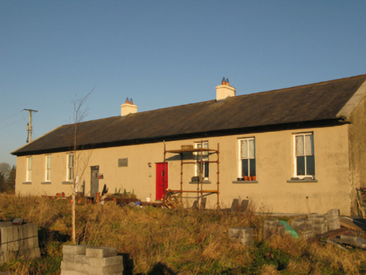 Saint Joseph's National Schoolschool · 1.4 mi
 CastleCastle, unclassified · 2.2 mi
 Slieve DartMountain / peak · 3.8 mi
 Castle in ruinsCastle, unclassified · 6.7 mi
 East Mayo Brigade MonumentMemorial · 11 mi
 European ashEuropean ash · 14 mi
 Mass RockNamed rock · 16 mi
 KnockmaaWood · 19 mi
 Enclosure in Garraun (costello By.)Enclosure · 1.3 mi