What is recorded here
Marianne and Cleo climbed the overgrown bank at Ballyglass, touching grass that had swallowed the fort for centuries. The southern chamber joined its northern twin through a narrow causeway, forming one conjoined ring instead of two separate homes. They walked the inner circle until the shape became familiar, not as a dead ruin but as a place where people once drew a line around their own lives.
This rath is the southern part of a conjoined ringfort (see also GA068-040----). It is roughly circular in plan (D 35m) and is defined by a substantial but heavily overgrown bank (max. Wth 6.8m; int. H 0.9m; max. ext. H 5m) from NE to S to NW; from NW to NE it is delimited by a scarp (H 2.1m). Apart from the wide shallow fosse (Wth 4m D 0.55m), which separates the two raths, from NW to NE, there is no other visible surface trace of it. Modern gaps occur in the bank at E (Wth 2m) and at S (Wth 11.3m). At N a gap (Wth 2.8m) leads to a causeway (Wth 4.8m), which accesses the adjoining rath (GA068-040----) to the N. There is a possible Man-made underground passage (GA068-040003-) in the SW quadrant of the interior. A modern field wall curves around the monument from NE to SSE. A silage pit has been built close to the monument to the SE.
Compiled by: Olive Alcock
Date of upload: 11 August 2015
The monument record does not grant public access. Check the route and ask the landowner before entering private land.
- What survives
- Recorded monument
Places near here
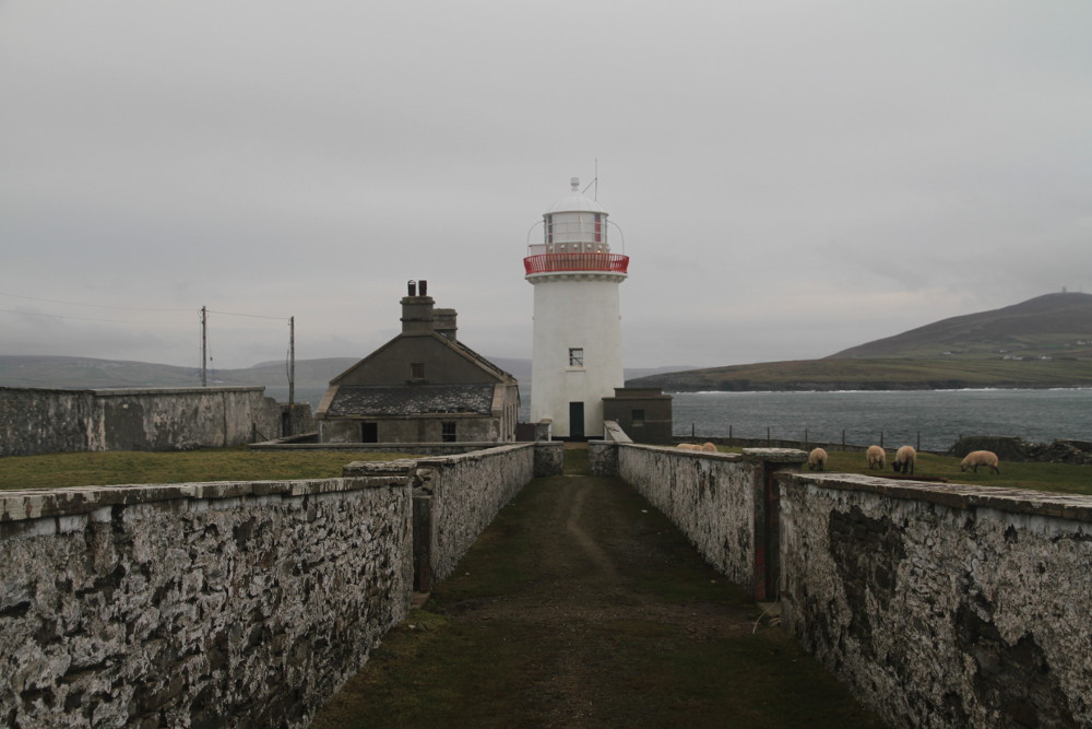 Man-made underground passage in Ballyglass (kilconnell By.)Man-made underground passage · 12 yd
 Man-made underground passageMan-made underground passage · 41 yd
 Quarry in Ballyglass (kilconnell By.)Quarry · 284 yd
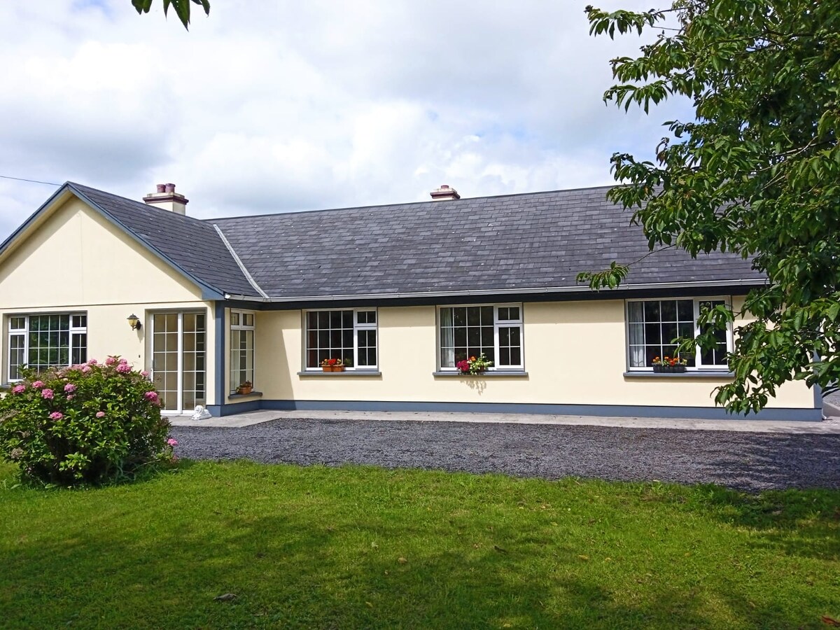 Buxtown HouseHouse, 18th/19th century · 1152 yd
 Kilconnell AbbeyHeritage attraction · 1517 yd
 Castle (in Ruins)Castle, unclassified · 1.6 mi
 Large-leaved LimeLarge-leaved Lime · 2.0 mi
 CastleCastle, unclassified · 2.0 mi
 Western RedcedarWestern Redcedar · 2.5 mi
 Battle of Aughrim Interpretative CentreMuseum · 4.8 mi
 Battle of AughrimMajor battlefield · 5.3 mi
 The bloody HollowHeritage attraction · 5.6 mi